What is recorded here
In level pasture, to the N of Kenmare Bay. Indicated as a standing stone surrounded by a circular feature (diam. c. 20m), possibly consisting of smaller stones, on the 1846 OS 6-inch map. In 1841 it was recorded that 'At the distance of about one furlong [c. 200m] from the modern church of this Parish to the East there is a very remarkable Gallán or standing stone surrounded by several smaller stones but not placed in a regular circle. It is called Gallan na Cille Bige i.e. the Pillar of the Small Church, but there is no tradition in connection with its origin or use' (OSL, 183). Two boulders (dims. of larger: L 3.2m; Wth 1.2m; H 1.45m) on the site appear to be natural features.
The above description is derived from the published 'Archaeological Inventory of County Kerry. Volume I: South-West Kerry' (Dublin: Stationery Office, 2009). In certain instances the entries have been revised and updated in the light of recent research.
Date of upload: 30 May 2011
The monument record does not grant public access. Check the route and ask the landowner before entering private land.
- What survives
- Recorded monument
Places near here
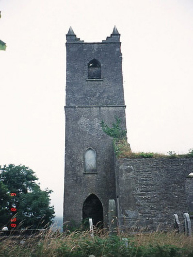 Kenmare Churchchurch/chapel · 273 yd
 Grave Yd.Graveyard · 275 yd
 Killowen ChurchRuins · 276 yd
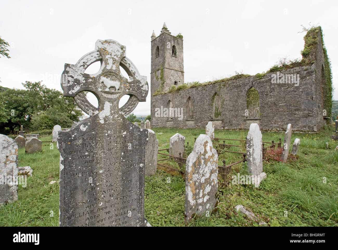 Man-made underground passage in KillowenMan-made underground passage · 318 yd
 The Lodge WoodWood · 1197 yd
 Monterey PineMonterey Pine · 1325 yd
 CastleCastle, unclassified · 1402 yd
 Mill Cove Gallery / John Brennan StudioGallery · 1443 yd
 Kenmare Heritage Town - Main StreetMemorial · 1485 yd
 Kenmare Tourist Information OfficeVisitor information · 1544 yd
 Cleo GalleryGallery · 1584 yd
 StrickeenMountain / peak · 1.3 mi