What is recorded here
Gallaun is a broad, irregular standing stone in County Kerry, Ireland, measuring 1.95m high and leaning NE-SW beside a field boundary that divides bog from pasture. Packing stones still crowd its base, suggesting hands once set it rather than leaving it to chance. Overgrowth has since swallowed much of its shape, but the stone remains visible enough to mark the edge between wet earth and grazing land. It may have guided people through uncertain ground, or simply watched the boundary hold.
This broad, irregularly shaped standing stone is located adjacent to a field boundary which divides poorly drained bog from pasture. Largely obscured by overgrowth, it measures 1.95m high and 1.33m x .65m in basal dimensions; NE-SW. Some packing stones are visible at its base.
The above description is derived from A. O'Sullivan and J. Sheehan (compilers), 'The Iveragh peninsula: an archaeological survey of South Kerry'. Cork University Press (1996), no. 219. In certain instances the entries have been revised and updated in the light of recent research.
Date of upload: 28 July 2013
Likely dating to the Late Neolithic or Bronze Age, this standing stone may have served as a territorial marker or had ceremonial significance. No specific folklore or inscriptions are recorded, though its positioning near a boundary suggests a possible ritual or symbolic function.
The monument record does not grant public access. Check the route and ask the landowner before entering private land.
- What survives
- Recorded monument
Places near here
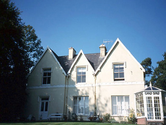 Glendalough Househouse · 1169 yd
 Caragh Lodgehouse · 1198 yd
 Kerry Bog VillageHeritage attraction · 1.4 mi
 Lough Yganavan Nature ReserveNature reserve · 1.7 mi
 Lough Nambrackdarrig Nature ReserveNature reserve · 1.9 mi
 Cromane BeachBeach / strand · 2.8 mi
 CastleCastle, tower house · 3.3 mi
 Man-made underground passage in CastleconwayMan-made underground passage · 3.3 mi
 Ballykissane Tragedy Wall of RemembranceMonument · 3.3 mi
 King Puck statueMemorial · 3.4 mi
 SeefinMountain / peak · 3.6 mi
 Cloon IslandIsland · 4.1 mi