What is recorded here
There is no visible trace of the stone marked in this location as ‘Gallaun’ on the second edition of the OS map. It was situated in pastureland on the lower W slopes of Seefin.
The above description is derived from A. O'Sullivan and J. Sheehan (compilers), 'The Iveragh peninsula: an archaeological survey of South Kerry'. Cork University Press (1996), no. 244. In certain instances the entries have been revised and updated in the light of recent research.
Date of upload: 28 July 2013
This remains an important historical record, but the official description says the monument is no longer visible or has been destroyed. The monument record does not grant public access. Check the route and ask the landowner before entering private land.
- What survives
- No visible remains or recorded as destroyed
Places near here
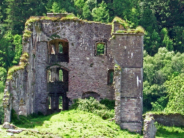 Glenbeigh Towerscountry house · 306 yd
 Gowlane R.C. Chapel (in Ruins)Church · 486 yd
 CaveMan-made underground passage · 791 yd
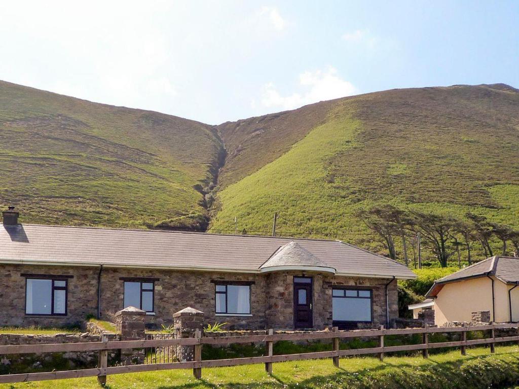 Rossbeigh TowerMonument · 910 yd
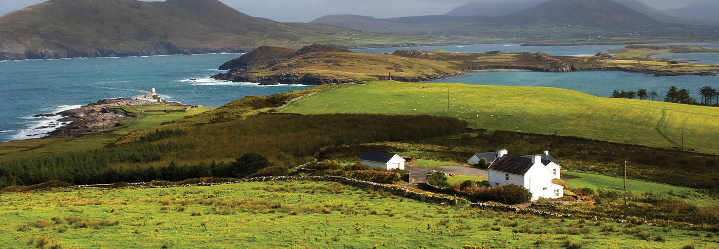 LaghtsheeMountain / peak · 1667 yd
 SeefinMountain / peak · 1.2 mi
 Rossbeigh BeachBeach / strand · 1.8 mi
 Lough Nambrackdarrig Nature ReserveNature reserve · 2.8 mi
 Kerry Bog VillageHeritage attraction · 3.0 mi
 Lough Yganavan Nature ReserveNature reserve · 3.6 mi
 Mountain StageViewpoint · 4.1 mi
 Cromane BeachBeach / strand · 4.6 mi