What is recorded here
In level pasture to the N of Kenmare Bay. There are no visible remains of this possible standing stone which was indicated on the 1846 and 1895 OS 6-inch maps. A housing development occupies the area.
The above description is derived from the published 'Archaeological Inventory of County Kerry. Volume I: South-West Kerry' (Dublin: Stationery Office, 2009). In certain instances the entries have been revised and updated in the light of recent research.
Date of upload: 30 May 2011
This remains an important historical record, but the official description says the monument is no longer visible or has been destroyed. The monument record does not grant public access. Check the route and ask the landowner before entering private land.
- What survives
- No visible remains or recorded as destroyed
Places near here
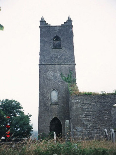 Kenmare Churchchurch/chapel · 57 yd
 Killowen ChurchRuins · 59 yd
 Grave Yd.Graveyard · 66 yd
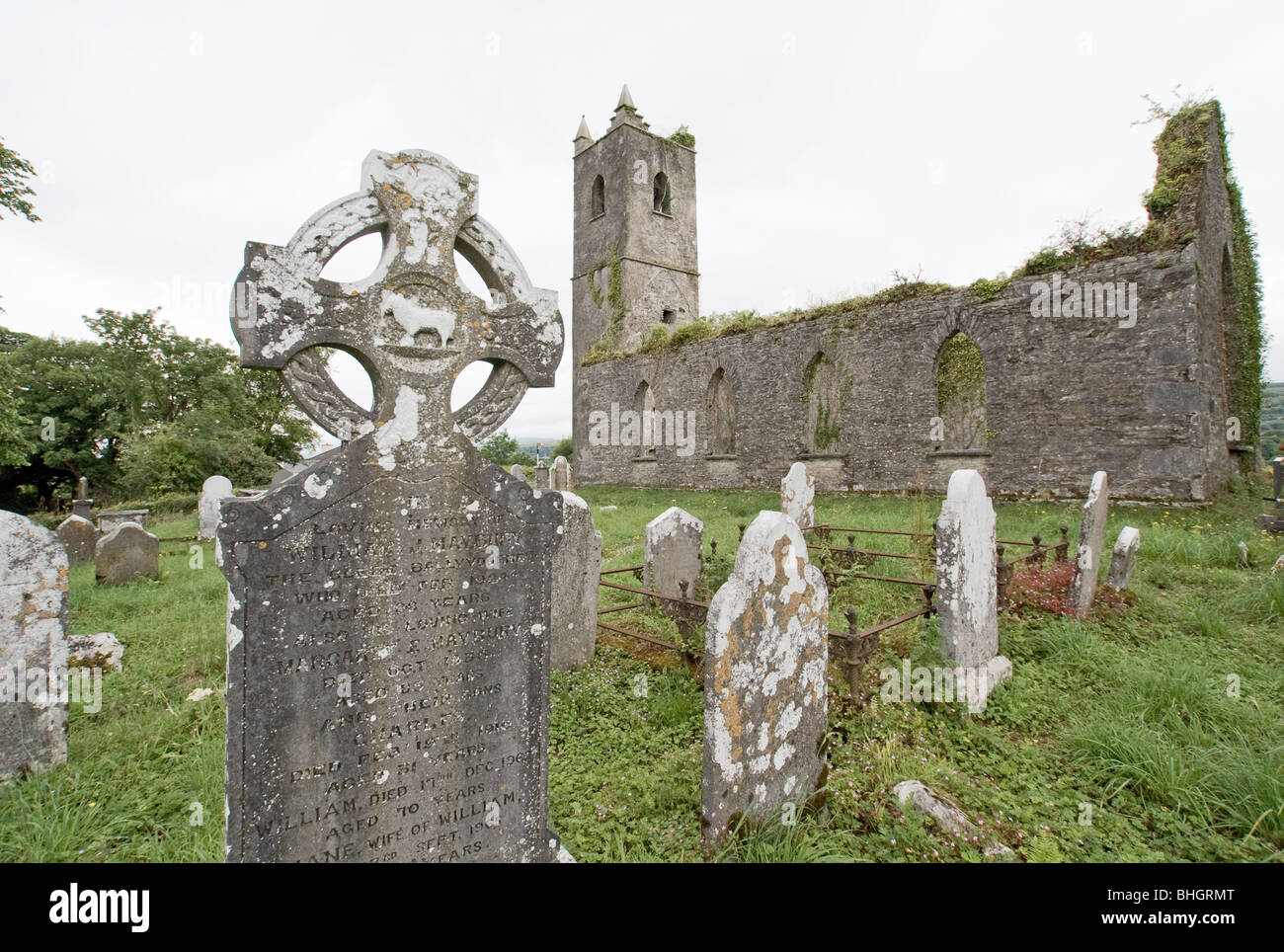 Man-made underground passage in KillowenMan-made underground passage · 264 yd
 The Lodge WoodWood · 980 yd
 Monterey PineMonterey Pine · 1112 yd
 Mill Cove Gallery / John Brennan StudioGallery · 1223 yd
 Kenmare Heritage Town - Main StreetMemorial · 1266 yd
 Kenmare Tourist Information OfficeVisitor information · 1328 yd
 Cleo GalleryGallery · 1364 yd
 CastleCastle, unclassified · 1544 yd
 StrickeenMountain / peak · 1.3 mi