What is recorded here
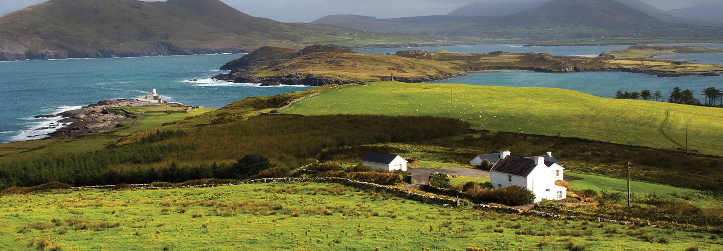
This stone, located on a slight terrace on the E side of a low hill between Knocknatinna and Ross Behy mountains, overlooks Dingle Bay. Trapezoidal in basal plan and irregular in elevation, it measures 2.05m x 1.2m x .35m; NE-SW. The SW side of the stone rises almost vertically, while the other side tapers gradually towards its flat top. The stone inclines to NW, and is markedly more weathered on this face. Adjacent to it at NW are two thick slabs, set at right angles to one another; these average 1.15m long and .55m thick, and their tops barely protrude above ground level.
The above description is derived from A. O'Sullivan and J. Sheehan (compilers), 'The Iveragh peninsula: an archaeological survey of South Kerry'. Cork University Press (1996), no. 175. In certain instances the entries have been revised and updated in the light of recent research.
Date of upload: 28 July 2013
Likely dating to the Neolithic or Bronze Age, this standing stone may have functioned as a territorial marker, ritual monument, or astronomical feature. No specific folklore or inscriptions are recorded for Gallaun–Drom.
The monument record does not grant public access. Check the route and ask the landowner before entering private land.
- What survives
- Recorded monument
Places near here
 IndicatedEnclosure · 645 yd
 CaveMan-made underground passage · 1385 yd
 KnockatinnaMountain / peak · 1617 yd
 LaghtsheeMountain / peak · 1.0 mi
 R.C. Chapel (in Ruins)Church · 1.4 mi
 Gowlane R.C. Chapel (in Ruins)Church · 1.6 mi
 Rossbeigh BeachBeach / strand · 2.1 mi
 Mountain StageViewpoint · 2.4 mi
 FeaklecallyHeadland · 3.3 mi
 Sheep Dog TrainingHeritage attraction · 4.2 mi
 Lough Nambrackdarrig Nature ReserveNature reserve · 4.6 mi
 Lough Yganavan Nature ReserveNature reserve · 5.3 mi