What is recorded here
Gallaun is a rectangular standing stone in County Cork, Ireland. It stands fifteen decimetres tall on a south-facing slope above the Mealagh River, aligned northeast to southwest beside a stone ditch. The stone has watched river traffic and seasonal herding for generations, marking a boundary or meeting point in landscape long before roads were drawn. Its plain shape and exposed position suggest it was made to be seen from a distance, a quiet anchor in a changing valley.
In rough grazing overlooking Mealagh River to S. Rectangular stone (H 1.5m; 1m x 0.3m) aligned NE-SW. Myler (1998, 72) records this stone as being 'located to the north of the road on the higher ground opposite the previous stone (CO106-037----). It is in pasture on a south facing slope with a stone ditch to its eastern side'.
The above description is derived from the published 'Archaeological Inventory of County Cork. Volume 1: West Cork' (Dublin: Stationery Office, 1992). In certain instances the entries have been revised and updated in the light of recent research.
Date of upload/revision: 29 January 2013
The monument record does not grant public access. Check the route and ask the landowner before entering private land.
- What survives
- Recorded monument
Places near here
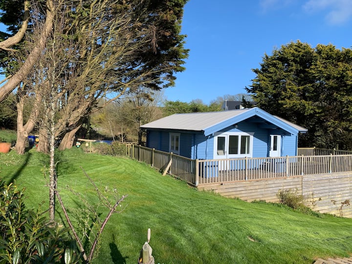 Hut site in Coomleagh WestHut site · 997 yd
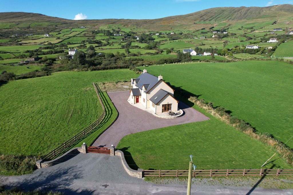 Hut site in Coomleagh EastHut site · 1050 yd
 Nowen Hill SW TopMountain / peak · 1.4 mi
 Nowen HillMountain / peak · 1.9 mi
 St Finbarr's Pilgrim RouteWalking route · 2.3 mi
 Castle Donovan (in Ruins)Castle, tower house · 2.5 mi
 Castle DonovanCastle · 2.5 mi
 KilnKiln, corn-drying · 2.6 mi
 MillMill, fulling · 3.2 mi
 Delish Cascade WalkWalking route · 3.3 mi
 Kealkill stone circleVisitor information · 3.8 mi
 Francis O'Neill PlaqueMemorial · 5.1 mi