What is recorded here
In pasture with commanding view in every direction. Stone is prostrate (L 2.7m; 0.64m x 0.36m).
The above description is derived from the published 'Archaeological Inventory of County Cork. Volume 1: West Cork' (Dublin: Stationery Office, 1992). In certain instances the entries have been revised and updated in the light of recent research.
Date of upload/revision: 14 January 2009
Likely dating to the Bronze Age, the stone may have served as a territorial marker or ceremonial site. No specific folklore or detailed function is recorded for this site.
The monument record does not grant public access. Check the route and ask the landowner before entering private land.
- What survives
- Recorded monument
Places near here
 Coolkellure Housecountry house · 589 yd
 Grave YardGraveyard · 987 yd
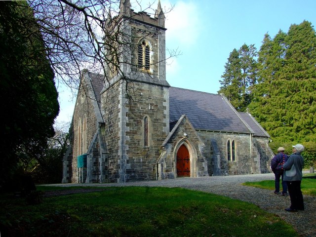 St. Edmund's Church of Ireland Churchchurch/chapel · 987 yd
 Enclosure in DromdrasdilEnclosure · 1199 yd
 Pookeen North TopMountain / peak · 1.3 mi
 Nowen HillMountain / peak · 2.0 mi
 Togher CastleCastle, tower house · 2.8 mi
 Castle (Site of)Castle, Anglo-Norman masonry castle · 3.4 mi
 Dunmanway Heritage CentreVisitor information · 3.7 mi
 Funmanway Adventure LandHeritage attraction · 3.8 mi
 Graveyard in Dunmanway NorthGraveyard · 4.0 mi
 Mohona WoodWood · 4.0 mi