What is recorded here
In open gently undulating pasture, c. 90m SE of a ringfort (KD006-006----). Not recorded on the 1st ed. (1838) of the OS 6-inch map, but described in 1972 as a limestone boulder (dims. L 1.3m; T 0.5m) lying in the field, but of which there was no visible trace in 1985 (SMR file). Fitzgerald (1903-5, 4) translates the townland name Carton as, ' "Baile an Cairthe" the town of the Pillar Stone' .
Compiled by: Gearóid Conroy
Date of upload: 10 June 2011
Likely dating to the Bronze Age, the stone may have had ritual or territorial significance, given its proximity to a ringfort. No specific folklore or detailed use has been recorded for this site.
This remains an important historical record, but the official description says the monument is no longer visible or has been destroyed. The monument record does not grant public access. Check the route and ask the landowner before entering private land.
- What survives
- No visible remains or recorded as destroyed
Places near here
 IndicatedFairy fort / earthen ringfort · 112 yd
 Enclosure in DonaghmoreEnclosure · 842 yd
 Deey Bridge and 9th Lockbridge · 901 yd
 Church (in Ruins)Church · 1167 yd
 Conolly's FollyHeritage attraction · 1412 yd
 European YewEuropean Yew · 1609 yd
 Natalie MurrayMemorial · 1.2 mi
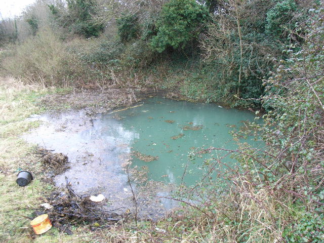 Leixlip Spa - SpringSpring · 1.5 mi
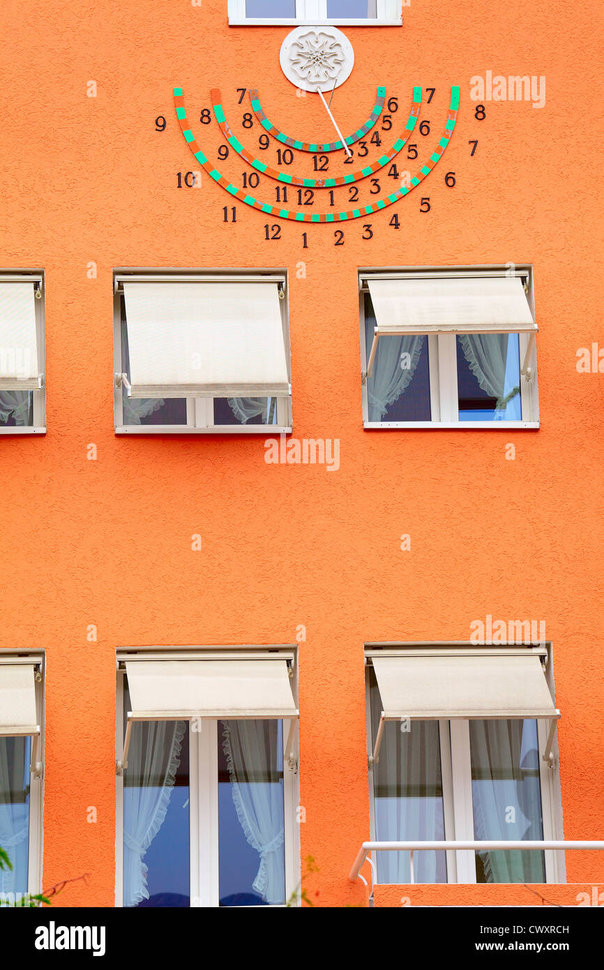 Sun clockMemorial · 1.5 mi
 Lebanon CedarLebanon Cedar · 1.6 mi
 The Wonderful BarnHeritage attraction · 1.6 mi
 CastleCastle, motte · 1.8 mi