What is recorded here
Gallán was a single standing stone in County Cork, marked on 1937 maps but absent from earlier surveys, now removed without visible trace. It may have stood as a boundary marker, memorial, or gathering point for centuries before disappearing. Its erasure reminds us that even stone submits to time, and memory must carry what the land no longer holds.
Not shown on 1842 and 1904 OS 6-inch maps. Marked on 1937 OS 6-inch maps as single standing stone. Removed; no visible surface trace.
The above description is derived from the published 'Archaeological Inventory of County Cork. Volume 3: Mid Cork' (Dublin: Stationery Office, 1997). In certain instances the entries have been revised and updated in the light of recent research.
Date of upload/revision: 14 January 2009
The monument record does not grant public access. Check the route and ask the landowner before entering private land.
- What survives
- Recorded monument
Places near here
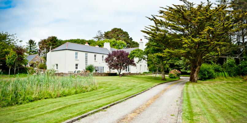 Knockane HouseCountry house · 546 yd
 BarrowBarrow, ring-barrow · 552 yd
 KilnKiln, lime · 565 yd
 Ballyvodane Castle (in Ruins)Castle, unclassified · 870 yd
 Fulachta FiadhFulacht fia · 1090 yd
 New TipperaryVisitor information · 2.9 mi
 Ballyanly Inniscarra Slí na SláinteWalking route · 3.1 mi
 Castle (in Ruins)Castle, tower house · 3.9 mi
 Pairc Ath Na hEornaMemorial · 4.0 mi
 Lyradane MountainMountain / peak · 4.1 mi
 Pakie HoganMemorial · 4.3 mi
 Saint Bartholomew's WellSpring · 4.4 mi