What is recorded here
In pasture, on relatively flat ground, to the N of the Killorglin-Fossa road. A roughly rectangular stone (dims. 1.8m x 1.77m; H 2.45m), with a rounded top, is orientated E-W. This is probably the 'Gallaun' described in the 1930s by Capt. D.B. O'Connell as being close to the road and to the W of the church (St Lelia's RC church). A burial (KE066-088----) was recorded immediately S of the stone.
Compiled by: Elizabeth Byrne, Ursula Egan and Sheila Ronan, Archaeological Survey Unit, University College, Cork.
Date of upload: 31 January 2011
The monument record does not grant public access. Check the route and ask the landowner before entering private land.
- What survives
- Recorded monument
Places near here
 Fulacht FianFulacht fia · 132 yd
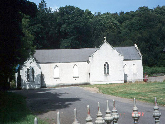 Saint Lelia's Catholic Churchchurch/chapel · 336 yd
 Catholic Church of Christ Prince of Peacechurch/chapel · 379 yd
 Enclosure in Dromin (magunihy By., Lahard Ed)Enclosure · 494 yd
 Parkavonear CastleCastle · 1.4 mi
 Aghadoe Early Medieval Ecclesiastical SiteHeritage attraction · 1.5 mi
 Rabbit or Brown IslandIslet · 1.7 mi
 Castle (in Ruins)Castle, tower house · 1.8 mi
 Japanese pagoda treeJapanese pagoda tree · 1.8 mi
 Lamb IslandIsland · 2.1 mi
 Dunloe Ogham StonesHeritage attraction · 2.1 mi
 European YewEuropean Yew · 2.2 mi