What is recorded here
Situated on flood plain of Lee River valley; site excavated (Fahy 1957, 73-5) shortly before being submerged in waters of reservoir. One stone was prostrate at time of excavation. No finds were recovered. NE stone was 0.6m L, 0.45m T and 2.15m H. Socket (D 0.75m) of second stone was uncovered 1.2m to SW; prostrate stone measured 2.15m by 0.6m by 0.6m. Stones were aligned NNE-SSW; overall length was c. 2.75m. (O Nualláin 1988, 244, no. 103)
The above description is derived from the published 'Archaeological Inventory of County Cork. Volume 3: Mid Cork' (Dublin: Stationery Office, 1997). In certain instances the entries have been revised and updated in the light of recent research.
Date of upload/revision: 14 January 2009
The monument record does not grant public access. Check the route and ask the landowner before entering private land.
- What survives
- Recorded monument
Places near here
 Carrigadrohid Castle InfoVisitor information · 456 yd
 Carrigadrohid Bridgebridge · 498 yd
 IndicatedBridge · 500 yd
 Carrigadrohid CastleHeritage attraction · 501 yd
 Carrigadrohid Castle (in Ruins)Castle, tower house · 506 yd
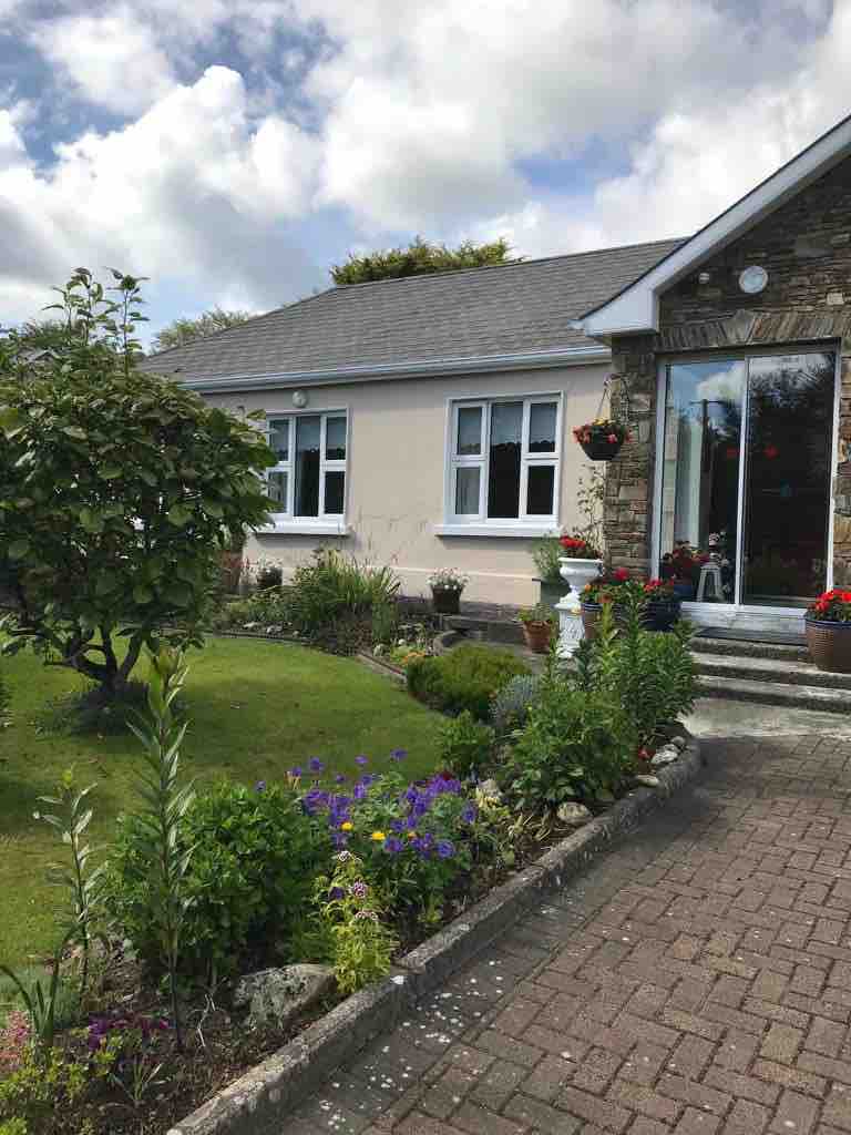 Leap WoodWood · 663 yd
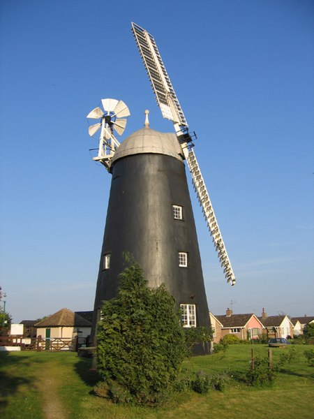 Steven's WoodWood · 1197 yd
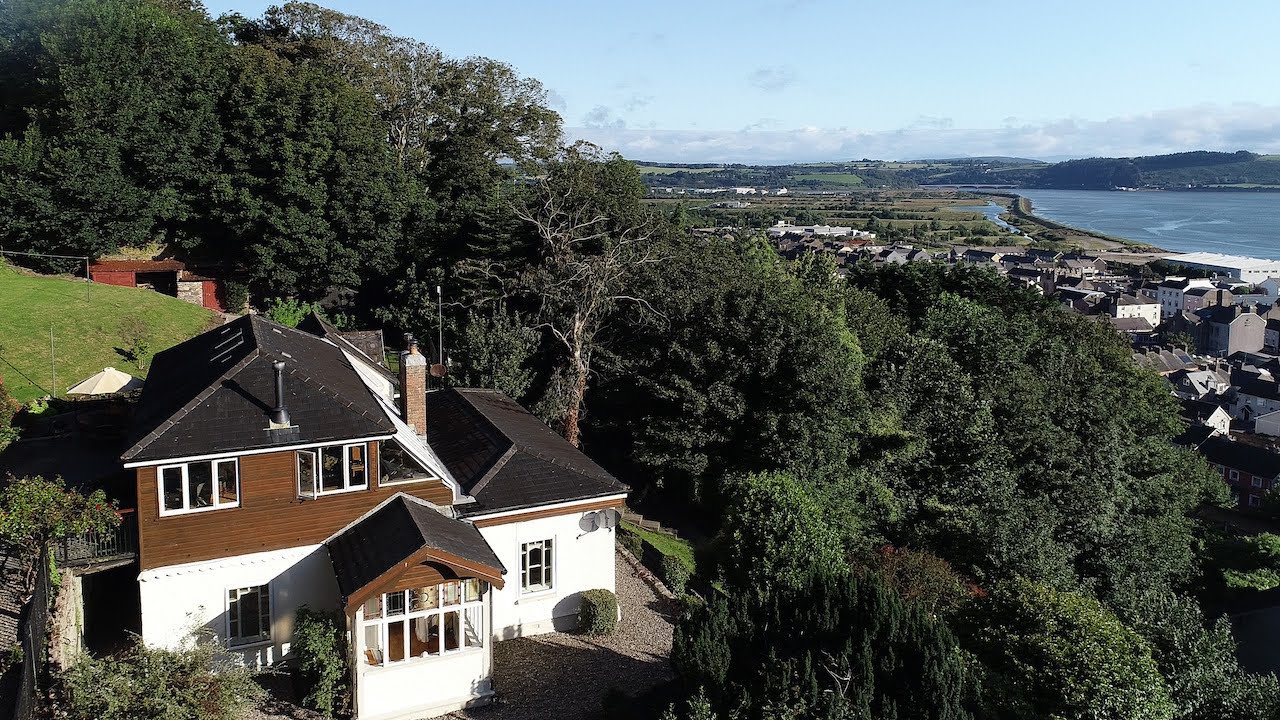 Man-made underground passage in KillinardrishMan-made underground passage · 1732 yd
 Fulacht FiadhFulacht fia · 1.1 mi
 Mullinhassig WaterfallWaterfall · 1.8 mi
 Mashanaglass Castle (in Ruins)Castle, tower house · 3.1 mi
 Priest MemorialMemorial · 4.4 mi