What is recorded here
On ridge, in rolling pasture, on S side of Bride River basin. NE stone has fallen; it measures 1.9m L, 0.6m T and, if erect, c. 3.25m H. Second stone stands 0.7m to SW; aligned ENE-WSW, it is 2.05m L, 0.9m T and 2.25m H. (Ó Nualláin 1988, 245, no. 110)
The above description is derived from the published 'Archaeological Inventory of County Cork. Volume 3: Mid Cork' (Dublin: Stationery Office, 1997). In certain instances the entries have been revised and updated in the light of recent research.
Date of upload/revision: 14 January 2009
Likely dating to the Bronze Age, the pair of stones at Galláin, Garranenamuddagh may have functioned as a boundary marker or ritual alignment. No specific folklore is recorded, though such paired stones often held symbolic or ceremonial significance in prehistoric landscapes.
The monument record does not grant public access. Check the route and ask the landowner before entering private land.
- What survives
- Recorded monument
Places near here
 Fulacht FianFulacht fia · 944 yd
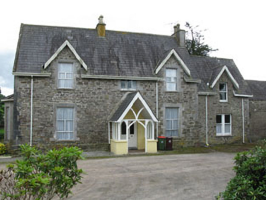 Bellmount Househouse · 1157 yd
 Moviddy RectoryCountry house · 1188 yd
 Castlemore CastleCastle · 1.1 mi
 Clodah CastleCastle · 1.3 mi
 Pedunculate OakPedunculate Oak · 1.6 mi
 Michael Collins MemorialMemorial · 2.5 mi
 Independence MuseumMuseum · 3.1 mi
 Kilmurry WoodsPicnic place · 3.4 mi
 Mount Pleasant WoodWood · 3.5 mi
 Priest MemorialMemorial · 3.5 mi