What is recorded here
In pasture. Spread of burnt material noted. Mound levelled c. 1978, according to local information.
The above description is derived from the published 'Archaeological Inventory of County Cork. Volume 3: Mid Cork' (Dublin: Stationery Office, 1997). In certain instances the entries have been revised and updated in the light of recent research.
Date of upload/revision: 14 January 2009
The monument record does not grant public access. Check the route and ask the landowner before entering private land.
- What survives
- Recorded monument
Places near here
 Fulacht FiadhFulacht fia · 1667 yd
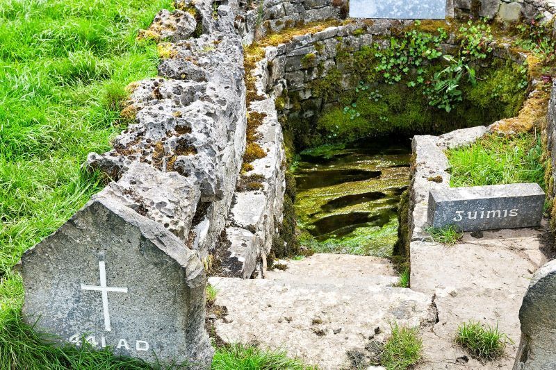 Holy well in CarhueHoly well · 1681 yd
 Derry HouseCountry house · 1730 yd
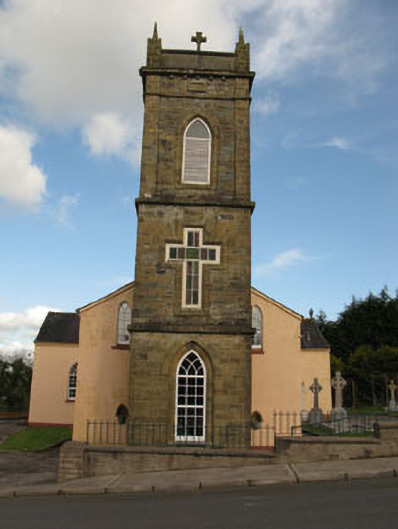 St Joesph's Roman Catholic Churchchurch/chapel · 1.8 mi
 Ballyvodane Castle (in Ruins)Castle, unclassified · 2.2 mi
 New TipperaryVisitor information · 2.5 mi
 Oldcastle WoodWood · 2.5 mi
 Carrignamuck Tower HouseCastle · 2.7 mi
 Saint Bartholomew's WellSpring · 2.9 mi
 Ballyanly Inniscarra Slí na SláinteWalking route · 3.2 mi
 Bob AdamsMemorial · 4.2 mi
 Coachford Greenway (End)Visitor information · 4.5 mi