What is recorded here
In marshy ground, adjacent to spring. Shown on 1938 OS 6-inch map as kidney-shaped mound. Inaccessible.
The above description is derived from the published 'Archaeological Inventory of County Cork. Volume 3: Mid Cork' (Dublin: Stationery Office, 1997). In certain instances the entries have been revised and updated in the light of recent research.
Date of upload/revision: 14 January 2009
The monument record does not grant public access. Check the route and ask the landowner before entering private land.
- What survives
- Recorded monument
Places near here
 Mashanaglass Castle (in Ruins)Castle, tower house · 427 yd
 IndicatedWater mill, horizontal-wheeled · 1251 yd
 KilnKiln, corn-drying · 1269 yd
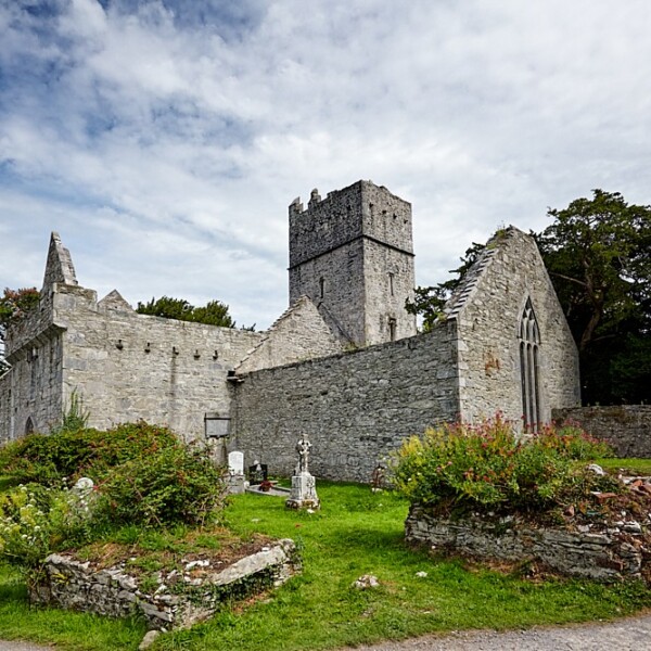 Fulacht FianFulacht fia · 1.5 mi
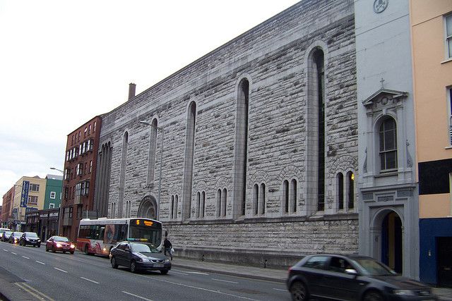 Dunisky Church (Site of)Church · 1.5 mi
 Castle (Site of)Castle, unclassified · 1.7 mi
 Ummera WoodWood · 1.8 mi
 Stephen's WoodForest · 2.0 mi
 Battle of Macroombattle · 2.4 mi
 Priest MemorialMemorial · 2.7 mi
 Macroom WalksVisitor information · 2.7 mi
 Kilmurry WoodsPicnic place · 2.9 mi