What is recorded here
Situated on a slight S-facing slope with a small NW-SE canalised stream just to the NE. Archaeological testing (04E0915) by S. Delaney (2005) at Testing Area 12 of Contract 4 of the M3 motorway identified (excavations.ie 2004:1355) archaeological material that was completely excavated (E003152) in December 2006 by Y. Whitty (2010) as Town Parks 6 when an area of 580 square metres was opened and a fulacht fia was recorded (excavations.ie 2007:1400). A spread of broken and burnt stone (dims 10.8m E-W; 4.5m N-S; T 0.15m) was c. 3m W of a rectangular trough (dims 2.48m x 1.5m; D 0.14m) that had postholes in three of its angles. It was filled with a brown/black sandy clay with frequent heat-affected stone inclusions. A fragment of oak charcoal from a twig in one of the post-holes provided a C14 date of 3749-3640 cal. BC (UBA 11101) placing it firmly in the early Neolithic. A gully (L 9m; Wth 1.15m; D 0.33m) filled with a black silty sand and heat-shattered stones extended from the S edge of the mound ESE and cut the S edge of the rectangular trough. A second circular trough (diam. 1.25m; D 0.28m), c. 8m N of the mound was filled with burnt mound material and is probably contemporary. No artefacts were recovered. (Whitty 2010, 5-7)
See the attached plan from Whitty (2010, fig. 5)
Compiled by: Michael Moore
Date of upload: 11 March 2022
The monument record does not grant public access. Check the route and ask the landowner before entering private land.
- What survives
- Recorded monument
Places near here
 Long WoodForest · 516 yd
 Lackmelch RockfieldWood · 669 yd
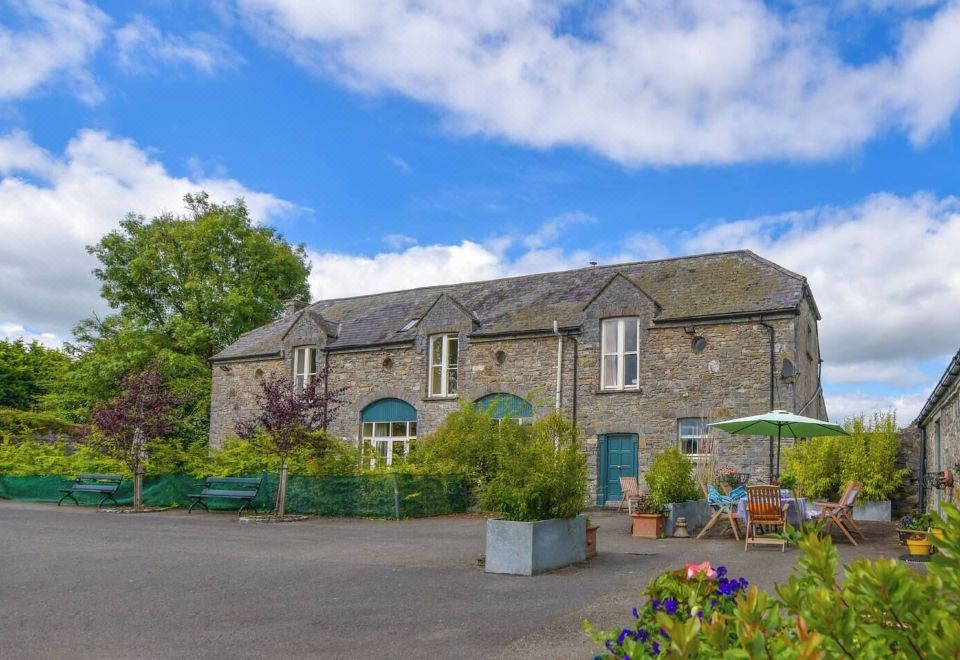 Enclosure in Calliaghstown (kells Upper By.)Enclosure · 748 yd
 Enclosure in LackmelchEnclosure · 891 yd
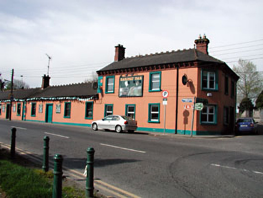 Railway Househotel · 1141 yd
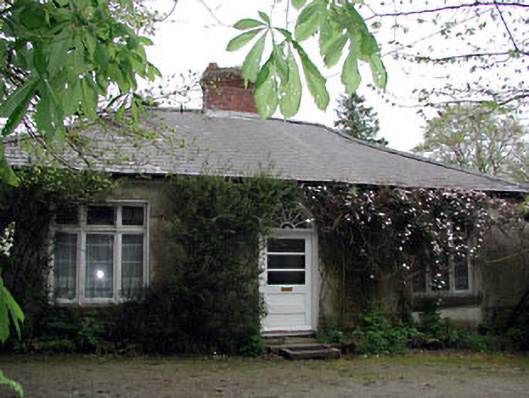 Westfield Cottagehouse · 1152 yd
 James CarolanMemorial · 1528 yd
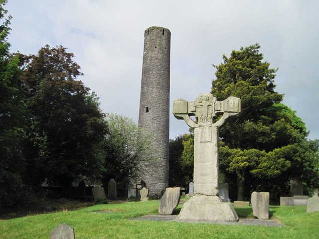 Kells Round TowerMemorial · 1703 yd
 CastleCastle, unclassified · 1.1 mi
 Castle ruinsCastle · 2.1 mi
 MountainpoleMountain / peak · 2.4 mi
 CloncatMountain / peak · 3.1 mi