What is recorded here
In low-lying marshy ground. Described by Cody (1989, 164, no. 25) as a small oval grass-covered stone mound (5m E-W; 3.2m N-S; H 0.2-0.6m). A smaller mound was visible 1m to the NE of its E end and there was another one 1m to the SW of its W end. An E-W running field wall formed the N limits of these two mounds. On inspection in 1984 only a poorly preserved rectangular area of burnt stone (5.5m E-W; 3m N-S; H 0.4m max.) partially covered by sod was visible. Two other fulachta fia lay c. 110m to the NNW and c. 50m to the NE respectively.
Compiled by: Galway Archaeological Survey, UCG
Date of upload: 27 November 2019
The monument record does not grant public access. Check the route and ask the landowner before entering private land.
- What survives
- Recorded monument
Places near here
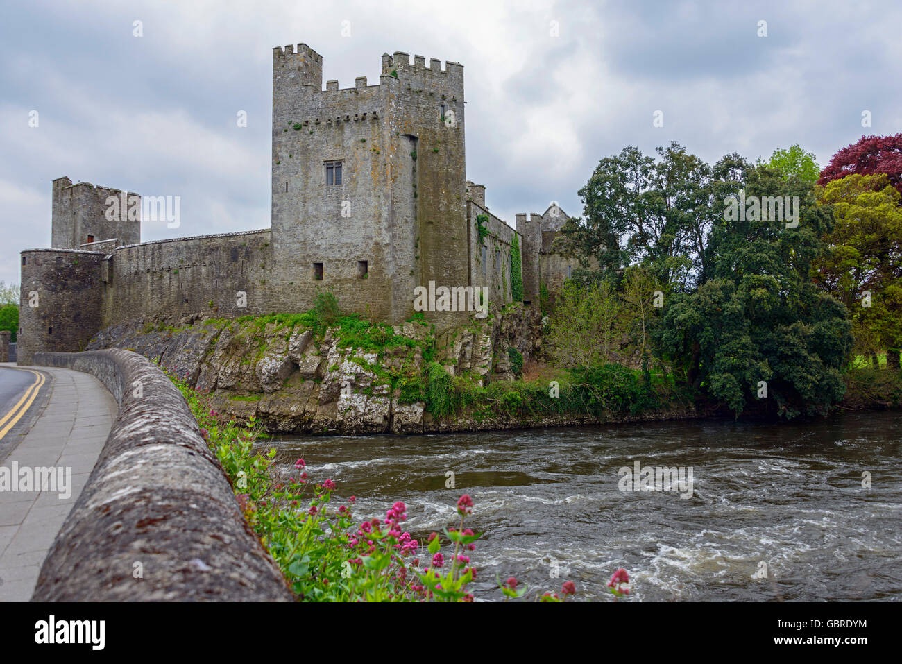 CaherFairy fort / earthen ringfort · 1153 yd
 CaherbriskaunFairy fort / stone ringfort · 1354 yd
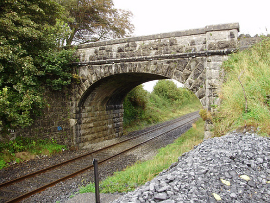 Derrydonnell Bridgebridge · 1698 yd
 Castle LambertCountry house · 1.2 mi
 Castle (in Ruins)Castle, unclassified · 1.3 mi
 Derrydonnell Castle (in ruins)Castle, tower house · 1.4 mi
 Horse-chestnutHorse-chestnut · 2.6 mi
 Athenry AbbeyHeritage attraction · 2.7 mi
 Athenry CastleHeritage attraction · 2.8 mi
 First Battle of Athenrybattle · 2.8 mi
 Kilcornan WoodWood · 4.3 mi
 Rabbit IslandIslet · 8.5 mi