What is recorded here
On the margins of an expanse of wet pasture, with slightly raised ground 10m to W.
Low, sod-covered mound (c. 10.5m E-W; 13m N-S; H 0.4m) of stone fragments in a matrix of black, charcoal-rich soil. The W-SW side of the mound has a shallower, more gradual slope.
Another fulacht fia (MA039-124----) is located c. 70m to N, and there is an enclosure (MA039-085----).
Compiled by: Jane O’Shaughnessy
Date of upload: 7 April 2020
The monument record does not grant public access. Check the route and ask the landowner before entering private land.
- What survives
- Recorded monument
Places near here
 Enclosure in LisduvogeEnclosure · 564 yd
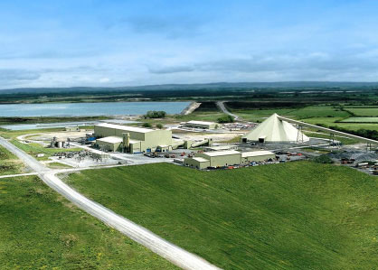 LisheenFairy fort / earthen ringfort · 1366 yd
 Cloghans CastleCastle, tower house · 1428 yd
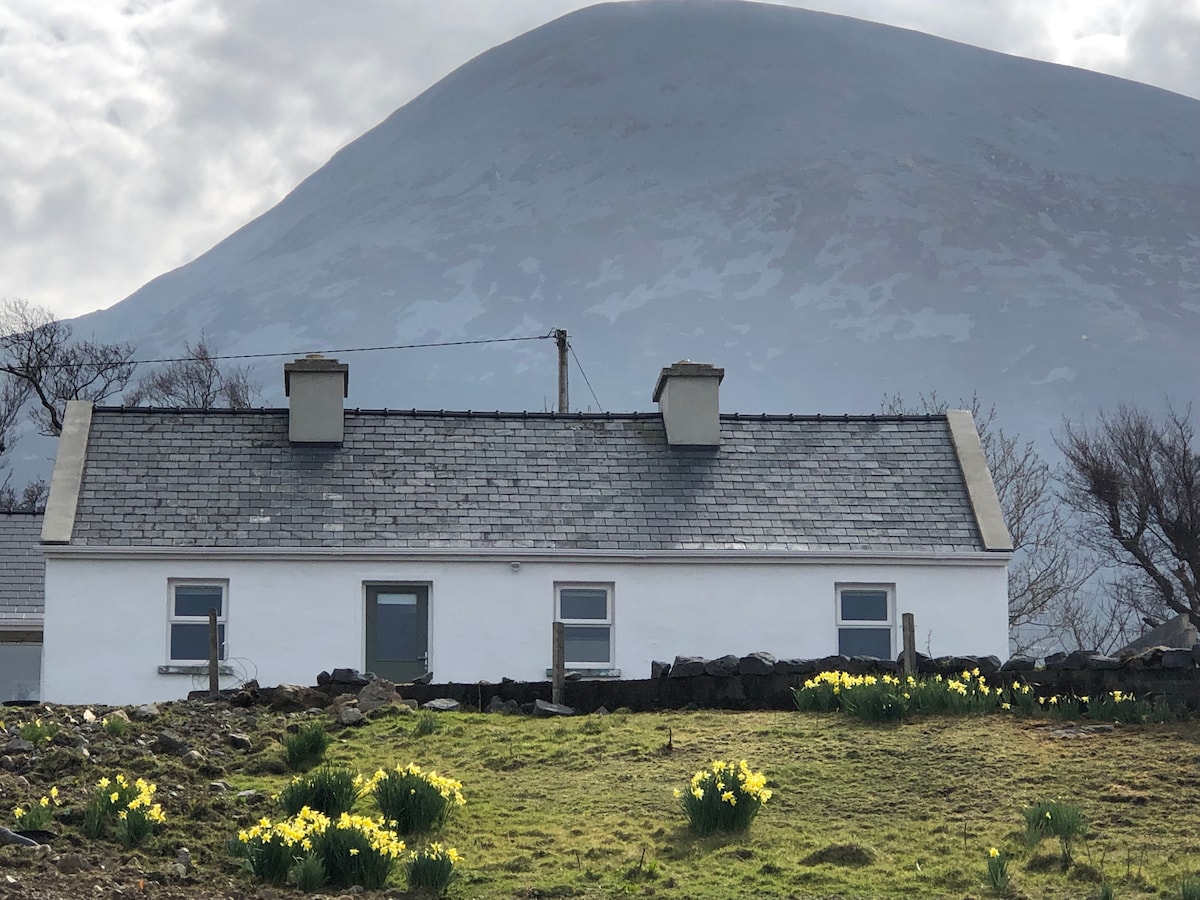 TempleancloghanChurch · 1.4 mi
 Errew AbbeyReligious house, Augustinian canons · 1.8 mi
 Castle (in ruins)Castle, unclassified · 2.2 mi
 Gull IslandIslet · 2.3 mi
 Roe IslandIslet · 2.9 mi
 Titanic Memorial ParkMemorial · 4.2 mi
 Lough CullinViewpoint · 4.6 mi
 Drummin ForestForest · 4.7 mi
 Battle of Ballinabattle · 5.4 mi