What is recorded here
In marshy ground. Overgrown horseshoe-shaped mound of burnt material (15m N-S; 11m E-W; H 1.9m); opening (Wth 6m) faces SE. According to local information, trough, composed of oak planks, measuring roughly '5ft long by 18in wide and 2-3in thick', was exposed in the past by digging. Trough area remains visible as depression with timbers partly exposed. Well in opening now dried up. Recorded by Broker (1937, 17). Second fulacht fiadh (11425) c. 150m to SW.
The above description is derived from the published 'Archaeological Inventory of County Cork. Volume 4: North Cork' (Dublin: Stationery Office, 2000). In certain instances the entries have been revised and updated in the light of recent research.
Date of upload/revision: 14 January 2009
The monument record does not grant public access. Check the route and ask the landowner before entering private land.
- What survives
- Recorded monument
Places near here
 Fulacht fia in KnocknashannaghFulacht fia · 1184 yd
 BarrowBarrow, ring-barrow · 1.1 mi
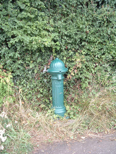 water pumpwater pump · 1.5 mi
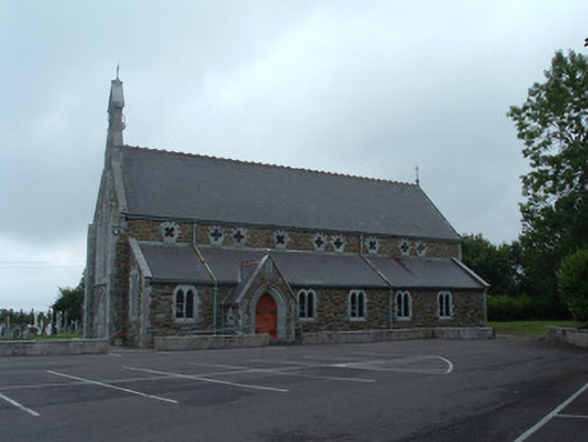 Church of the Immaculate Conceptionchurch/chapel · 1.6 mi
 Nohaval WoodWood · 2.4 mi
 Dromsicane Castle (in Ruins)Bawn · 4.9 mi
 Claragh MountainMountain / peak · 5.7 mi
 Castle and TurretCastle, tower house · 5.8 mi
 Millstreet Museum & Tourist Information CentreMuseum · 5.8 mi
 Claragh Loop (Trailhead 99)Visitor information · 5.9 mi
 Millstreet Tourist InformationVisitor information · 5.9 mi
 Caherbarnagh NW TopMountain / peak · 5.9 mi