What is recorded here
In average pasture, located on a gently W–facing slope bordering an expanse of flat reclaimed pasture and rush-grown, boggy ground which stretches to W–NW.
A low, roughly kidney-shaped rise (c. 11.5m N–S; c. 13m E–W) with a central depression opening to W. The mound appears to have been partly levelled; it is highest and most clearly defined at S but elsewhere its exact limits area difficult to trace. An eroded section of the mound revealed a compacted concentration of stone fragments in black soil. There is a burnt mound (MA111-104001-) c. 15m to N, and two burnt mounds (MA111-097----; MA111-098----) are located c. 100m to NW and c. 95m to NNE, respectively.
Compiled by: Jane O'Shaughnessy
Date of upload: 9 March 2023
The monument record does not grant public access. Check the route and ask the landowner before entering private land.
- What survives
- Recorded monument
Places near here
 Castle (ruin)Castle, unclassified · 236 yd
 IndicatedFairy fort / earthen ringfort · 520 yd
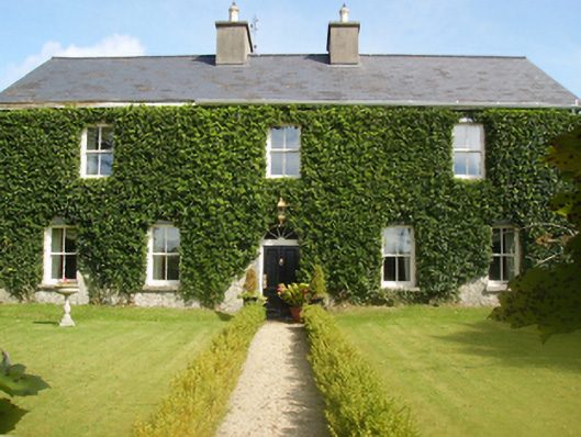 Gardenfield Housefarm house · 777 yd
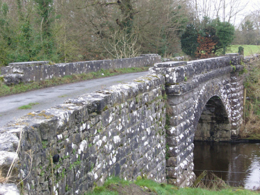 bridgebridge · 1407 yd
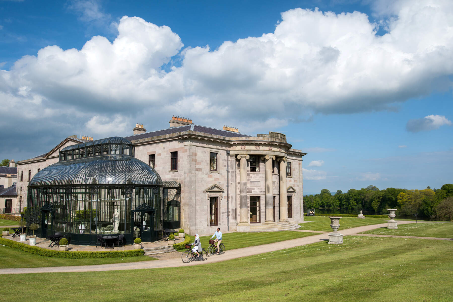 Enclosure in Lehinch DemesneEnclosure · 1664 yd
 Ahena CastleCastle · 2.6 mi
 SycamoreSycamore · 3.5 mi
 Geoffrey's WoodForest · 3.8 mi
 Land of the GiantsHeritage attraction · 4.5 mi
 Carrigeen ShangormanIslet · 9.3 mi
 Long IslandIslet · 9.8 mi
 Black RocksNamed rock · 11 mi