What is recorded here
Killamery holds a fulacht fia, though the exact spot remains debated. John Maher identified the site in 1986, but a later inspection found levelled remains and a burnt spread slightly north-east instead. The distinction matters less than the function: heat, water, and transformation. Someone built a place where ordinary substances changed through fire and pressure. That is still visible in the land, even if the marker wobbles.
A fulacht fia was identified at this location (pers. comm. John Maher, 1986) on the SMR (1987) and RMP (1996) maps. A field inspection in 1989 does not mention a fulacht fia at this location, rather it describes the levelled remains of a fulacht fia (KK030-012001-) and a burnt spread (KK030-012002-) c. 130m and c. 140m NNE of the location respectively. It is possible that the original location plotted for this fulacht fia was incorrect.
Compiled by: Jean Farrelly
Date of upload: 25 July 2023
The monument record does not grant public access. Check the route and ask the landowner before entering private land.
- What survives
- Recorded monument
Places near here
 St. Nicholas WellHoly well · 452 yd
 Saint Nicholas's Church (Killamery)church/chapel · 458 yd
 Bullaun stone in KillameryBullaun stone · 462 yd
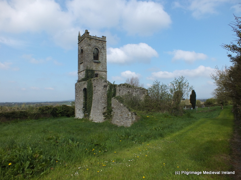 Church (in ruins)Church · 466 yd
 Killamery High CrossVisitor information · 485 yd
 IndicatedCastle, motte · 594 yd
 KillameryVisitor information · 627 yd
 The SpoutMemorial · 1.2 mi
 Bawn in GarryrickinBawn · 1.4 mi
 James (Jim) McKennaMemorial · 1.9 mi
 European ashEuropean ash · 3.5 mi
 HawthornHawthorn · 3.5 mi