
What is recorded here
During topsoil removal for a Gas Pipeline in 2002 an irregular shaped spread of firing material was identified. This was sub-circular in shape (L1.4m, Wth 1.2m). It is located in rolling landscape which slopes to the E alongside a stream. S of the spread a sub-circular trough (L1.26m, Wth 1.12m, D 0.39m)was revealed. It has steep sides and a shallow, almost flat base (Tobin, 2004, 162).
Compiled by: Geraldine Stout
Date of upload: 26 August 2011
The monument record does not grant public access. Check the route and ask the landowner before entering private land.
- What survives
- Recorded monument
Places near here
 Earthwork in Jordanstown (balrothery East By.)Earthwork · 539 yd
 KilnKiln, corn-drying · 563 yd
 Ecclesiastical site in NevittEcclesiastical site · 936 yd
 Picnic AreaPicnic place · 1707 yd
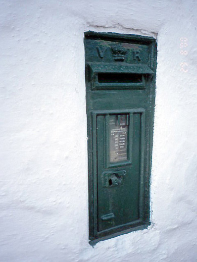 post boxpost box · 1.3 mi
 Man O'War HillMountain / peak · 1.4 mi
 CastleCastle, unclassified · 1.9 mi
 Thomas AsheMemorial · 2.0 mi
 Joe’s BridgeMemorial · 2.2 mi
 Hollywood GreatMountain / peak · 2.2 mi
 St Kenny's WellSpring · 2.6 mi
 The Birds of Rogerstown EstuaryVisitor information · 4.0 mi
Other information
Photo: Credit not shown in the picture search · Rights wording not checked; contact us if this picture should be removed