What is recorded here
This possible fulacht fia is referred to in the 'Archaeological Inventory of County Cork - vol. 1 West Cork' (1992, 94) under the entry (no. 788) for another possible fulacht fia (CO104-019----). The reference to this possible fulacht fia in the entry is as follows: 'McCarthaigh (1980, 15) records 'a cooking pit beside a stream' and adds that there is 'a second pit [CO104-019001-] upstream'. Exact location not known.' The precise location is not known and it is possible that it is that part of the townland that occurs on OS 6-inch map 103.
The above description is derived from the published 'Archaeological Inventory of County Cork. Volume 1: West Cork' (Dublin: Stationery Office, 1992). In certain instances the entries have been revised and updated in the light of recent research.
Date of upload/revision: 14 January 2009
The monument record does not grant public access. Check the route and ask the landowner before entering private land.
- What survives
- Recorded monument
Places near here
 Glenkeel TopMountain / peak · 597 yd
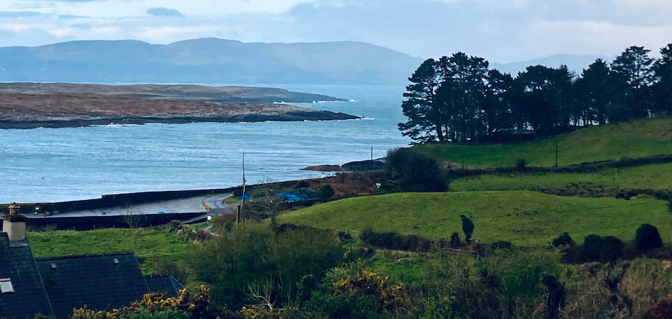 Nareera North TopMountain / peak · 982 yd
 Hut site in GlenloughHut site · 1094 yd
 Fulacht fia in CanshanavoeFulacht fia · 1.0 mi
 RoadRoad, unclassified togher · 1.4 mi
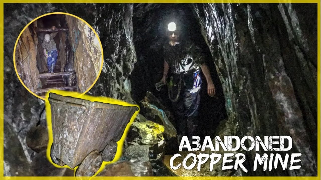 MineMine, copper · 1.5 mi
 Old Stone CottagesHeritage attraction · 1.9 mi
 DroppaCliff · 2.8 mi
 Hungry Hill GalleryGallery · 3.4 mi
 Graveyard in DrumlaveGraveyard · 3.6 mi
 Orthon's IslandIslet · 3.8 mi
 Mehal HeadHeadland · 3.8 mi