What is recorded here
One of a cluster of five fulachta fia (see also KK008-165----, KK008-166-----, KK008-189----) and three burnt mounds (KK008-190----, KK008-191----, KK008-192----) excavated in 2006 in advance of construction of the M8/N8 Cullahill to Cashel Road Improvement Scheme (Excavation licence no. E2391). An irregularly shaped mound (diam. c. 5.14m; D 0.06-0.13m) composed of compacted silty clay with occasional burnt stone and charcoal. An oval pit (L 1.62m; Wth 1.23m; D 0.52m) beneath the mound contained three fills. A charcoal sample from the pit returned a radiocarbon date of 1730-1510 cal BC (Poz-26676). (Hardy 2009, 261-2, no. 1023; Hardy and Green 2009, Site D)
Compiled by: Mary Tunney
Date of upload: 9 October 2013
The monument record does not grant public access. Check the route and ask the landowner before entering private land.
- What survives
- Recorded monument
Places near here
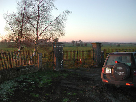 Foulkscourt Housegates/railings/walls · 208 yd
 Church (in ruins)Church · 528 yd
 Enclosure in FoulkscourtEnclosure · 731 yd
 Foulkscourt Ringfort (rath)Archaeological place · 886 yd
 IndicatedBawn · 983 yd
 Foulkscourt castle (in ruins)Castle, tower house · 997 yd
 DelaneyMemorial · 1412 yd
 John HelyMemorial · 1661 yd
 Clomantagh HillMountain / peak · 2.8 mi
 Street fieldArchaeological place · 3.0 mi
 Kildrinagh WoodForest · 5.5 mi
 Anker's IslandIsland · 9.6 mi