What is recorded here
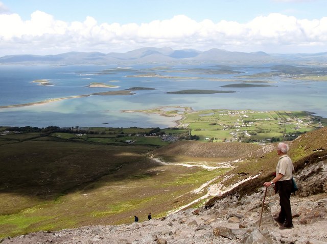
In pasture, located on a gentlE S-facing slope on the W bank of a rocky stream, which flows S to join the Owenmore River. Croagh Patrick is visible on the far horizon to NNW.
This fulacht fia is well preserved. It is evident as a compact horseshoe-shaped mound (10.5m N–S; 7.5m E–W), with a deep, well-defined central depression (2m N–S; 3m E–W), which opens to the stream at E. The mound is composed of a dense concentration of heat-shattered stone fragments in a matrix of black, charcoal-rich soil. It has a pronounced slope (H 1.25m) on its S side, where it has been built up higher due to a natural fall of ground, with a lower shirt (Wth c. 1m) of mound material protruding at the base of the mound here; on the W-N arc, there is a much lower, gentler slope (H 0.4-0.5m at W, 0.3m at N), merging almost seamless on the N side with the surrounding ground.
A number of large stones are visible at the base of the mound along its E edge where it borders the stream; it is possible that some of these were deliberately set to prevent the accumulated burnt stone slipping into the stream. A single large stone (L 1.25m N–S; Wth 0.3m; H 0.27m) protrudes from the edge of the mound at SW. Large, relatively flat slabs of natural bedrock border the stream immediately to N of the fulacht fia, and might have provided a convenient seating area.
Notified to NMS by Michael Gibbons.
Attached images:
MA107-012----_01.JPG Fulacht fia viewed from S
MA107-012----_01.JPG Fulacht fia viewed from SW
MA107-012----_01.JPG Fulacht fia viewed from N, showing central depression
Compiled by: Jane O’Shaughnessy
Date of upload: 21 May 2019
The monument record does not grant public access. Check the route and ask the landowner before entering private land.
- What survives
- Recorded monument
Places near here
 Catholic Church of the Sacred Heartchurch/chapel · 1297 yd
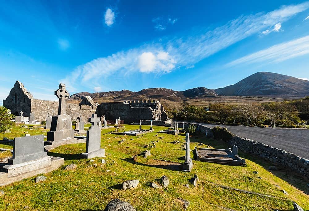 IndicatedFairy fort / stone ringfort · 1.6 mi
 Killeen Grave YardEnclosure · 1.8 mi
 Erriff Bridgebridge · 1.9 mi
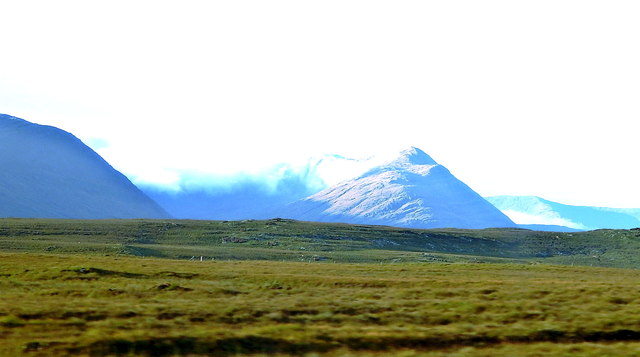 Tawny RowerMountain / peak · 2.4 mi
 Sheeffry PassMountain pass · 2.8 mi
 Sheeffrey WoodsForest · 3.3 mi
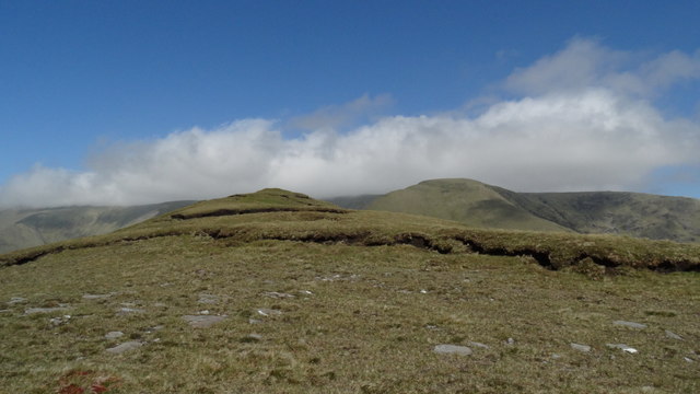 Tievnabinnia SE TopMountain / peak · 4.4 mi
 Aasleagh WaterfallWaterfall · 5.8 mi
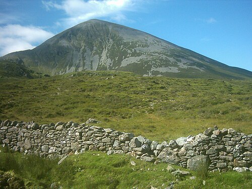 Croagh PatrickMountain / peak · 6.3 mi
 Leaba PatrickMemorial · 6.3 mi
 Croagh Patrick Pilgrim TrailWalking route · 6.6 mi