
What is recorded here
In pasture, in a stream valley. Discovered in 2000 during topsoil stripping in advance of the laying of the Ballincollig-Ballineen gas pipeline (Tobin 2002a, 46-7). The fulacht fia, which had been levelled during land drainage works prior to the pipeline development, was also damaged during the topsoil stripping. It comprised a spread (7m E-W; 4.8m N-S) of heat-shattered stones and charcoal-enriched soil. Excavation revealed a possible trough (1.62m E-W; 1.47m N-S), lined with wicker/wattle embedded in an impermeable clay.
The above description is derived from 'The Archaeological Inventory of County Cork. Volume 5' (Dublin: Stationery Office, 2009).
Date of upload: 22 December 2009
The monument record does not grant public access. Check the route and ask the landowner before entering private land.
- What survives
- Recorded monument
Places near here
:max_bytes(150000):strip_icc()/Ireland2016-18-5c38b0d846e0fb000169fb82.jpg) Market HoMarket-house · 819 yd
Market HoMarket-house · 819 yd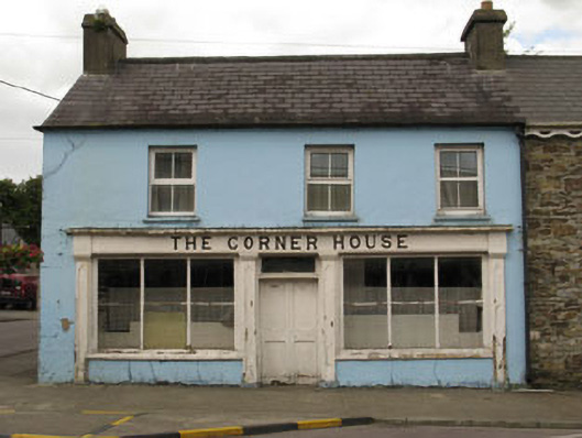 The Corner Housepublic house · 845 yd
 Courthouse in Derrigra (carbery East (w.d.) By., Kinneigh Par.)Courthouse · 859 yd
 Burnt mound in Castlelands (carbery East (w.d.) By.)Burnt mound · 1568 yd
 The GlenWood · 1.8 mi
 Castle RockNamed rock · 2.1 mi
 Irish National Forestry FoundationNature reserve · 2.2 mi
 Corran HillMountain / peak · 2.9 mi
 Castle DerryCastle · 2.9 mi
 Ballynacarriga CastleCastle, tower house · 4.2 mi
 Tobar MacloonaboySpring · 4.3 mi
 Green HillMountain / peak · 4.4 mi
Other information
Photo: Credit not shown in the picture search · Rights wording not checked; contact us if this picture should be removed