What is recorded here
Meltwater from the mountain fed the small stream where the fulacht fia still sits. People heated stones until they cracked, then dropped them into the basin to boil water for food, cleaning or ritual. The blackened earth and shattered rock preserve the heat of those hands.
A fulacht fiadh (KE071-051002-) is located on the bank of a small stream, c. 150m SW of the larger enclosure. The horseshoe-shaped mound has overall dimensions of 7m N-S 8.5m E-W and stands 1.4m high. At its N side, facing the stream, is a sloping, subrectangular depression, 3.4 x 1.3 x .45m deep. The mound is composed of small fire-shattered stones and blackened earth with a high charcoal content.
The above description is derived from A. O'Sullivan and J. Sheehan (compilers), 'The Iveragh peninsula: an archaeological survey of South Kerry'. Cork University Press (1996), no. 29. In certain instances the entries have been revised and updated in the light of recent research.
Date of upload: 28 July 2013
The monument record does not grant public access. Check the route and ask the landowner before entering private land.
- What survives
- Recorded monument
Places near here
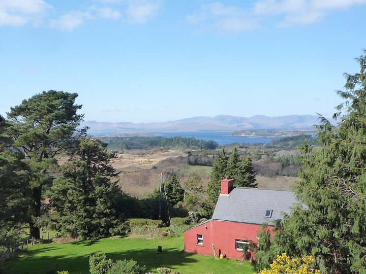 Enclosure in Creeveen (iveragh By.)Enclosure · 102 yd
 Field system in Keel (iveragh By.)Field system · 196 yd
 BeenreaghMountain / peak · 1.0 mi
 Blackstones Bridgebridge · 2.1 mi
 R.C. Chapel (in Ruins)Church · 2.5 mi
 SeefinMountain / peak · 2.7 mi
 Rossbeigh BeachBeach / strand · 4.6 mi
 Mountain StageViewpoint · 4.9 mi
 Kerry Bog VillageHeritage attraction · 4.9 mi
 Lough Nambrackdarrig Nature ReserveNature reserve · 5.2 mi
 FeaklecallyHeadland · 5.9 mi
 Ballaghbeama GapViewpoint · 6.7 mi