What is recorded here
On rough grazing 10m S of a stream which rises to the N, at the N end of short valley overlooked to W, N and E by low hazel-clad limestone bluffs. The most southerly of three fulachtaí fia in a N-S line. A small oval-shaped mound (ext. dims. 9.6m N–S; 6.3m E–W; max. H 0.6m) of grass-covered burnt stones, the composition of which is revealed in livestock hoof prints, backing onto a patch of low outcropping rock to E. A band of rushes runs outside the mound from W to NNE, potentially marking a small associated water course. Fulachtaí fia (CL006-045003- and CL006-045004-) lie c. 50m and 35m to the N and all three occur within the multiperiod field system (CL006-042001-) (Jones, Carey and Hennigar 2011, 42).
Compiled by: Mary Tunney and Ros Ó Maoldúin
Date of upload: 27 July 2021
The monument record does not grant public access. Check the route and ask the landowner before entering private land.
- What survives
- Recorded monument
Places near here
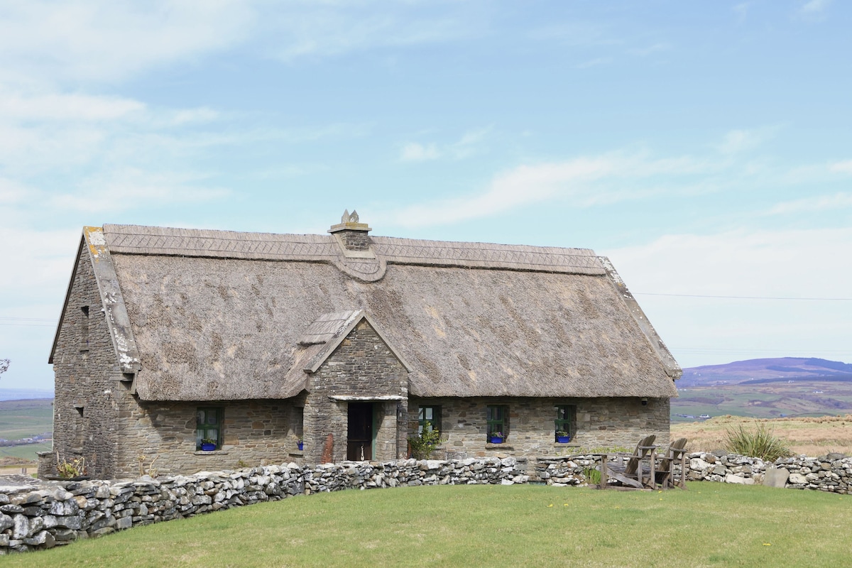 Enclosure in Coolnatullagh (burren By., Carran Par.)Enclosure · 313 yd
 Dermot & Grania's BedArchaeological place · 415 yd
 Cappagh CastleCastle · 1.1 mi
 MacDuagh's BedRuins · 1.4 mi
 Kilnaloone GraveyardArchaeological place · 1.4 mi
 St. MacDuachs Church (in ruins)Church · 1.4 mi
 Grave of Saint Mac Duagh's ServantArchaeological place · 1.6 mi
 Glencolumbkille CastleCastle · 1.7 mi
 Turlough HillMountain / peak · 2.6 mi
 Corcomroe AbbeyVisitor information · 4.0 mi
 Corcomroe Abbey Geopark SiteVisitor information · 4.0 mi
 Battle of Lough Raskabattle · 4.1 mi