What is recorded here
Crescent-shaped mound (L 2m; Wth 2m N-S; H 1m), in low-lying pasture. Burnt material visible under grass cover.
The above description has been derived from D. Lavelle (compiler), An Archaeological Survey of Ballinrobe and District including Lough Mask and Lough Carra. Lough Mask and Lough Carra Tourist Development Association (1994), No. 69.
Date of upload: 30 October 2013
The monument record does not grant public access. Check the route and ask the landowner before entering private land.
- What survives
- Recorded monument
Places near here
 Enclosure in BloomfieldEnclosure · 285 yd
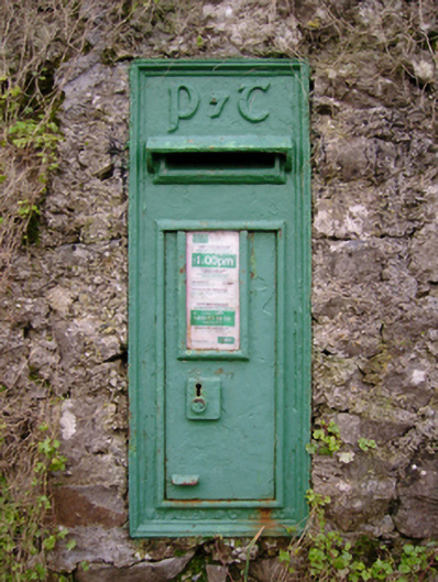 post boxpost box · 555 yd
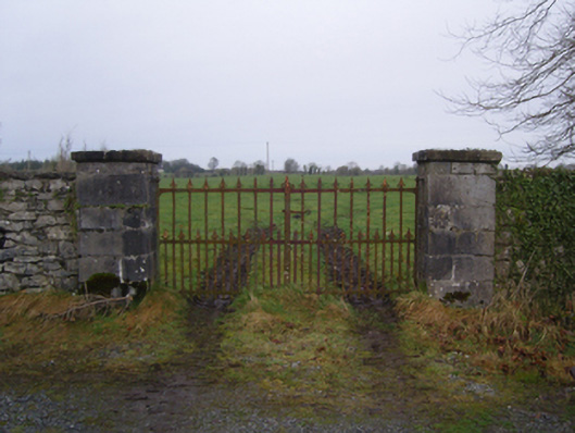 Bloomfield Housegates/railings/walls · 560 yd
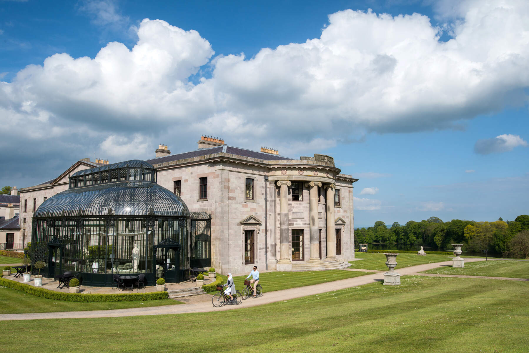 Enclosure in Lehinch DemesneEnclosure · 1.1 mi
 Castle (in Ruins)Castle, tower house · 1.2 mi
 Castle (ruin)Castle, unclassified · 1.9 mi
 SycamoreSycamore · 2.0 mi
 Bush IslandIslet · 3.8 mi
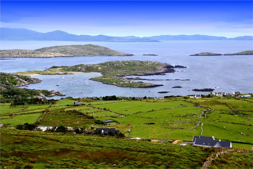 illanatrim islandIslet · 3.9 mi
 Kiltoom PointHeadland · 4.5 mi
 Moore Hall ForestForest · 4.8 mi
 Moore Hall Forest TrailWalking route · 4.8 mi