What is recorded here
Excavated by Mary Henry (06E1100 ext.) who described it as 'located south of the centre of the field, near the western site boundary, one fulacht measured 22m north–south by 14m wide and 0.35m thick. It comprised a dark-brown/black sandy clay with frequent to abundant fist-sized pieces of sandstone. A number of straight-sided furrows cut through this feature on various alignments, which have had a serious physical impact upon the monument. On a north–south alignment and cutting through the western extent of the fulacht was a modern sewer line. The cut measured 0.3m wide and was filled with chippings protecting a pipe.' This description is posted on the web at the following internet address (accessed 3 August 2012): http://www.excavations.ie/
Compiled by: Denis Power
Date of Upload: 3 August 2012
The monument record does not grant public access. Check the route and ask the landowner before entering private land.
- What survives
- Recorded monument
Places near here
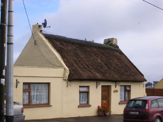 An Teach Tuíhouse · 469 yd
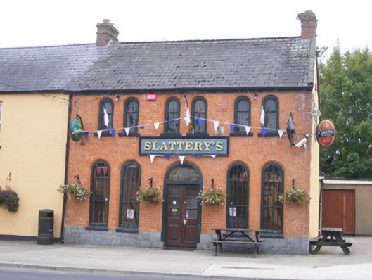 RIC barracksRIC barracks · 613 yd
 Kildimo (Old)Settlement cluster · 1270 yd
 Ballyculhane CastleCastle · 1426 yd
 Bolane CastleCastle · 1605 yd
 Enclosure in KildimoEnclosure · 1.1 mi
 Celtic Park and GardensHeritage attraction · 2.0 mi
 Stonehall Visitor FarmHeritage attraction · 2.9 mi
 Grass IslandIslet · 3.4 mi
 Maiden RockNamed rock · 3.5 mi
 St James's WellSpring · 3.6 mi
 Mellon PointHeadland · 3.6 mi