What is recorded here
In a pasture field overlooked by Tory Hill to the northeast. Excavated in 2006 in advance of the N9/N10 Kilcullen to Waterford road scheme. (Excavation licence no. E2500; Area 8). A mound of heat-shattered stone (7.5m E-W; 8m N-S) beneath which two possible troughs were found, and an area of bunt clay which may represent the remains of a hearth. The mound extended E beyond the limits of the excavation. A sample of hazel charcoal from one possible trough returned a calibrated radiocarbon date of 1626-1501BC. A single undiagnostic flint flake was recovered from the fill of one of the troughs. Metalworking sites, post-holes and pits were excavated c. 140m to the NW (KK043-087----, Kk043-088----). (Wren 2009, 253, no. 997; Wren 2010)
Compiled by: Mary Tunney
Date of upload: 17 September 2013
The monument record does not grant public access. Check the route and ask the landowner before entering private land.
- What survives
- Recorded monument
Places near here
 Church in BallynamorahanChurch · 657 yd
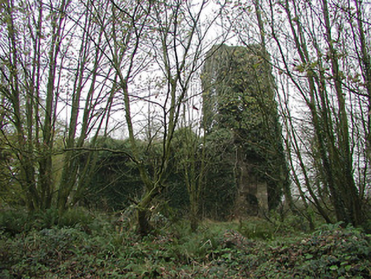 Gaulskill Churchchurch/chapel · 661 yd
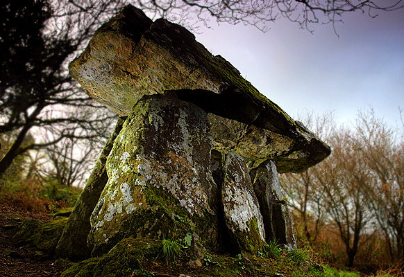 Enclosure in Gaulstown (ida By., Rossinan Ed)Enclosure · 1610 yd
 Graul Burkes Castle (Site of)Castle, unclassified · 1.1 mi
 Gaul Burke's CastleArchaeological place · 1.2 mi
 TubbereenanHoly well · 1.4 mi
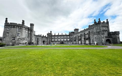 Ballynaboley WoodForest · 3.3 mi
 Native Woodland Trust:Grace Dieu ReserveWood · 3.5 mi
 Mount Congreve GardensHeritage attraction · 6.0 mi
 Waterford & Suir Valley RailwayHeritage attraction · 6.6 mi
 Donnell's HillMountain / peak · 8.8 mi
 Tower HillMountain / peak · 8.9 mi