What is recorded here
The official Northern Ireland record identifies this as FRANCISCAN FRIARY: BONAMARGY FRIARY. Recorded period: C17TH; C16TH. Recorded protection: State Care and Scheduled. The official map point was placed at the centre of the recorded archaeological site from the source map reference.
The monument record does not grant public access. Check the route and ask the landowner before entering private land.
- What survives
- Recorded monument
Places near here
 Bonamargy FriaryArchaeological place · 5 yd
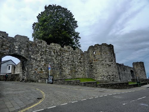 FORTIFICATION? (O.S. memoir site; unlocated) in Bonamargy; BroughanleaFORTIFICATION? (O.S. memoir site; unlocated) · 372 yd
 Ballycastle BeachBeach / strand · 453 yd
 County Primary SchoolSchool · 782 yd
 Ballycastle HarbourVisitor information · 922 yd
 MarconiMemorial · 931 yd
 Masonic HallHall · 1187 yd
 Ballycastle MuseumMuseum · 1441 yd
 DUNINENY CASTLE in Town Parks BallycastleDUNINENY CASTLE · 1.0 mi
 CASTLE (destroyed): CASTLE CULBERT in BrackneyCASTLE (destroyed): CASTLE CULBERT · 1.3 mi
 Ballycastle ForestForest · 1.5 mi
 KnocklaydMountain / peak · 2.9 mi