What is recorded here
Four stone cairns still stand in Largantea, County Derry, marking a prehistoric landscape where people shaped rock into visible form. They may have guided travellers, honoured the dead, or simply claimed the hill for human memory. Whatever they meant, they survived every storm and forgot every name that spoke them.
The official Northern Ireland record identifies this as FOUR CAIRNS. Recorded period: PREHISTORIC. The official map point was placed at the centre of the recorded archaeological site from the source map reference.
Four cairns in Largantea are prehistoric funerary monuments, likely dating to the Neolithic or Bronze Age. Their presence indicates early settlement and ritual activity in the area, though their specific type and wider significance remain unclear due to limited documentation.
The monument record does not grant public access. Check the route and ask the landowner before entering private land.
- What survives
- Recorded monument
Places near here
 ENCLOSURE (O.S. memoir site, unlocated) in LarganteaENCLOSURE (O.S. memoir site, unlocated) · 1.1 mi
 Ballyhanna ForestForest · 1.3 mi
 COUNTERSCARP RATH; possibly HILLFORT in DunmoreCOUNTERSCARP RATH; possibly HILLFORT · 1.4 mi
 Springwell ForestForest · 1.9 mi
 Ballyhacket ViewPicnic place · 2.1 mi
 Keady MountainMountain / peak · 3.2 mi
 BinevenaghMountain / peak · 3.3 mi
 St. Mary's RC ChurchChurch · 3.4 mi
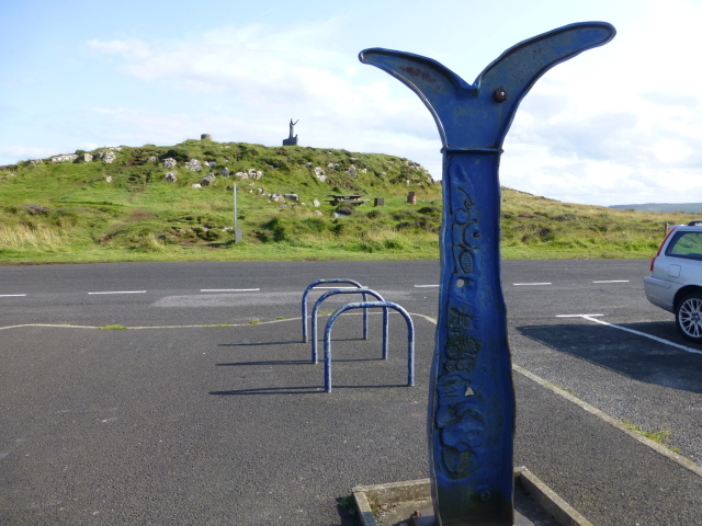 Millennium MilepostVisitor information · 3.6 mi
 Devil's ThumbNamed rock · 3.7 mi
 Hezlett HouseHeritage attraction · 4.0 mi
 CHURCH & GRAVEYARD in DownhillCHURCH & GRAVEYARD · 4.0 mi