What is recorded here
Half a dozen steps west, a second fort waits inside the first, two circles nested like a target drawn by a patient hand. The outer ring measures twenty-three metres across, its earthen bank still standing though scarred and fenced, while the inner chamber holds less than half that width. Whatever lived between them did so in layers, perhaps a household within a household, perhaps a boundary marked twice because the first line proved easy to forget.
Situated towards the top of the SW-facing slope of a drumlin. This is a grass and scub-covered circular area (int. diam. 22.75m N-S; 20.75m E-W) defined by an overgrown earthen bank (Wth 2.85m; int. H 0.3m; ext. H 0.8m) with an external fosse (Wth 2.2m; D 0.2m). The original entrance is not identified, and the perimeter is overlain by a field bank at S and a NNW-SSE wire fence. The ringfort (LE028-024----) is c. 50m to the W. The W part of the monument has been removed since 1991 (Bing 2013).
The above description is derived from 'The Archaeological Inventory of County Leitrim' compiled by Michael J. Moore (Dublin: Stationery Office, 2003). In certain instances the entries have been revised and updated in the light of recent research.
Date of upload: 23 September 2008
This remains an important historical record, but the official description says the monument is no longer visible or has been destroyed. The monument record does not grant public access. Check the route and ask the landowner before entering private land.
- What survives
- No visible remains or recorded as destroyed
Places near here
 FortsFairy fort / ringfort · 83 yd
 Sheebeg CairnArchaeological place · 501 yd
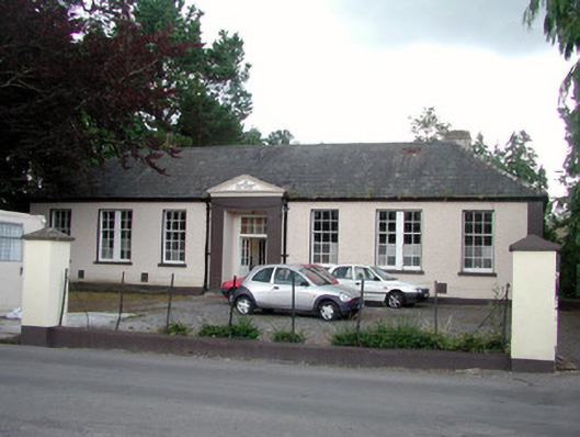 Keshcarrigan Vocational Schoolcollege · 1230 yd
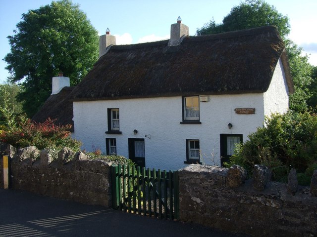 Fionn McCumhail Cottagehouse · 1278 yd
 Castle JohnCastle · 1.1 mi
 Whiskey IslandIslet · 1.2 mi
 Otter IslandIsland · 1.2 mi
 Sheemore Ambush MemorialMonument · 2.4 mi
 CastleforeCastle, tower house · 2.4 mi
 Leabaidh DermotCave · 2.7 mi
 Shannon-Erne WaterwayVisitor information · 4.6 mi
 Rocking StoneNamed rock · 5.6 mi