What is recorded here
Half a kilometre of grass and shadow on a Leitrim drumlin, the fort holds its shape without apology. Its bank rises higher at the north, thins to a scarped edge at the east, and drops into a shared ditch at the northwest, as if made for people who knew the land by heart. Local story speaks of an underground passage within, but no entrance has been identified; the fort keeps that much to itself.
Located towards the top of the NW-facing slope of a drumlin and directly S of rath (LE035-003----). This is a grass-covered circular area (int. diam. 32m N-S; 30m E-W) defined by an earthen bank (Wth of base 6.5-8m; int. H 0.3-0.5m; ext. H 0.5m at S to 1.8m at N), reduced to a scarp (Wth 8m; H 2.5m) at E, and an external fosse (Wth of top 7.3-10m; Wth of base 1.5-3m; ext. D 0.15m at W to 0.7m at N) which is shared with rath (LE035-002----) at NW. The original entrance is not identified, but there is a local tradition of a Man-made underground passage in the interior.
The above description is derived from 'The Archaeological Inventory of County Leitrim' compiled by Michael J. Moore (Dublin: Stationery Office, 2003). In certain instances the entries have been revised and updated in the light of recent research.
Compiled by: Michael Moore
Date of upload: 23 September 2008
Amended: 6 January 2020
The monument record does not grant public access. Check the route and ask the landowner before entering private land.
- What survives
- Recorded monument
Places near here
 FortsFairy fort / earthen ringfort · 55 yd
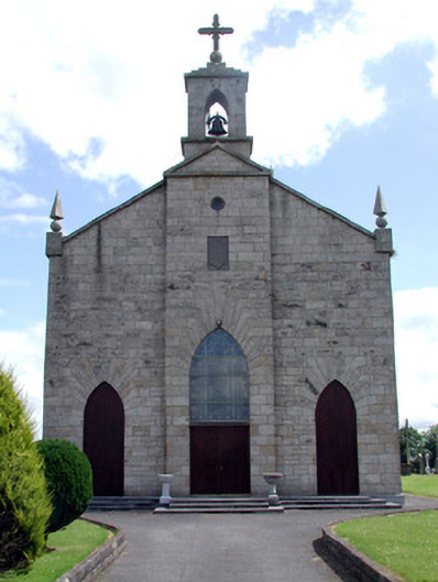 Catholic Church of the Immaculate Conceptionchurch/chapel · 676 yd
 MonumnetEnclosure · 901 yd
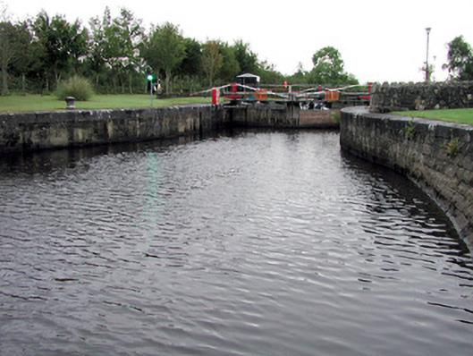 Albert Locklock · 1.7 mi
 Tom Dunphy MemorialMemorial · 1.8 mi
 InishmoylinIslet · 2.3 mi
 Wildlife AreaNature reserve · 2.4 mi
 Coarse IslandForest · 2.5 mi
 Dockery's IslandIslet · 2.6 mi
 Robert Strawbridge MemorialMemorial · 2.6 mi
 Site of Dangan CastleCastle, unclassified · 2.8 mi
 Cavan & Leitrim RailwayMuseum · 3.3 mi