What is recorded here
Doonmore Fort stands as a fortified outcrop in County Antrim, possibly a motte and bailey from the early Christian or medieval period. The official record hedges on its exact form, leaving the earthwork to imagine its own shape. That uncertainty is not a flaw but an invitation: the hill may have worn a wooden keep, a stone tower, or nothing but a boundary marker for a forgotten field. Under either possibility, the fort remains scheduled and real, waiting for someone to stop debating its classification and start walking its rim.
The official Northern Ireland record identifies this as FORTIFIED OUTCROP (possibly MOTTE AND BAILEY): DOONMORE FORT. Recorded period: E.C./MED. Recorded protection: Scheduled. The official map point was placed at the centre of the recorded archaeological site from the source map reference.
The monument record does not grant public access. Check the route and ask the landowner before entering private land.
- What survives
- Recorded monument
Places near here
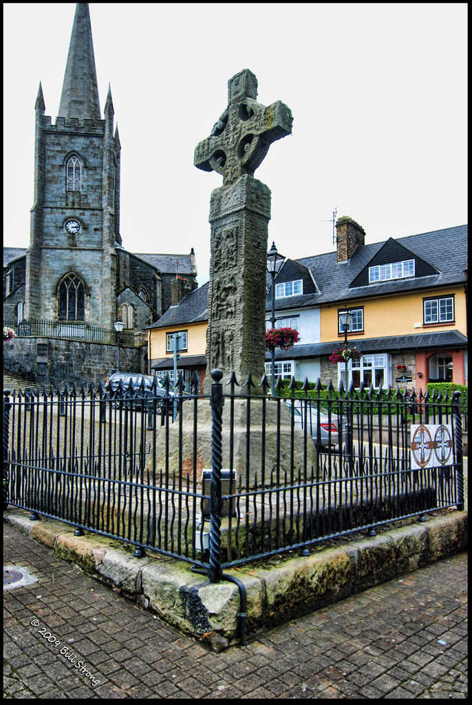 CROSS (unlocated) in CrossCROSS (unlocated) · 493 yd
 Fairhead - FarrangandooCliff · 570 yd
 Cranagh IslandIslet · 766 yd
 CRANNOG IN LOUGH NA CRANAGH in CrossCRANNOG IN LOUGH NA CRANAGH · 776 yd
 Fairhead - The ProwCliff · 783 yd
 Fair HeadViewpoint · 1554 yd
 Lime KilnRural Industry · 1.2 mi
 Murlough CottageHouse · 1.7 mi
 Ballycastle BeachBeach / strand · 2.9 mi
 CASTLE (O.S. memoir site; unlocated) in LossetCASTLE (O.S. memoir site; unlocated) · 3.0 mi
 CASTLE (destroyed): CASTLE CULBERT in BrackneyCASTLE (destroyed): CASTLE CULBERT · 3.2 mi
 Ballycastle HarbourVisitor information · 3.3 mi