What is recorded here
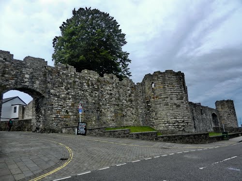
Doon rises in Bonamargy as a fortified outcrop, its stones still angled against the sky like a broken shoulder of the earth. The exact age has slipped from human memory, but the shape has not: a ridge made defensible, perhaps by people who understood that visibility is the first warning and the last defense. It does not explain itself. It waits, solid and unnamed, for someone strong enough to stand beside it and remember what strength feels like from the inside.
The official Northern Ireland record identifies this as FORTIFIED OUTCROP: DOON. Recorded period: UNCERTAIN. The official map point was placed at the centre of the recorded archaeological site from the source map reference.
The monument record does not grant public access. Check the route and ask the landowner before entering private land.
- What survives
- Recorded monument
Places near here
 FORTIFICATION? (O.S. memoir site; unlocated) in Bonamargy; BroughanleaFORTIFICATION? (O.S. memoir site; unlocated) · 229 yd
 Ballycastle BeachBeach / strand · 290 yd
 Bonamargy FriaryArchaeological place · 565 yd
 Ballycastle HarbourVisitor information · 1135 yd
 MarconiMemorial · 1149 yd
 County Primary SchoolSchool · 1222 yd
 Masonic HallHall · 1658 yd
 Ballycastle MuseumMuseum · 1.1 mi
 DUNINENY CASTLE in Town Parks BallycastleDUNINENY CASTLE · 1.1 mi
 CASTLE (destroyed): CASTLE CULBERT in BrackneyCASTLE (destroyed): CASTLE CULBERT · 1.4 mi
 Ballycastle ForestForest · 1.8 mi
 Fairhead - FarrangandooCliff · 2.7 mi