What is recorded here
Fortification and windmill marks Post-Medieval Carrickfergus, where defense and domestication collided. Stone walls held back threat while sails turned wind into flour, bread, life. One structure served fear and hunger at once.
The official Northern Ireland record identifies this as FORTIFICATION & WINDMILL. Recorded period: POST-MED. The official map point was placed at the centre of the recorded archaeological site from the source map reference.
The monument record does not grant public access. Check the route and ask the landowner before entering private land.
- What survives
- Recorded monument
Places near here
 Siege of Carrickfergussiege · 590 yd
 MEDIEVAL PARISH CHURCH, POST-MED. & MODERN CHURCH & GRAVEYARD: ST NICHOLAS' CHURCH, ST NICHOLAS OF CRAGFERGUS in CarrickfergusMEDIEVAL PARISH CHURCH, POST-MED. & MODERN CHURCH & GRAVEYARD: ST NICHOLAS' CHURCH, ST NICHOLAS OF CRAGFERGUS · 596 yd
 St. Nicholas' Church of Ireland ChurchChurch · 599 yd
_-_geograph.org.uk_-_3549028.jpg?width=1280) Kelly's Coal OfficeOffice · 611 yd
Kelly's Coal OfficeOffice · 611 yd King William III MonumentMonument · 678 yd
 Battle of Carrickfergus (1760)Major battlefield · 750 yd
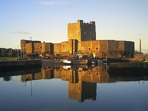 Carrickfergus CastleCastle · 752 yd
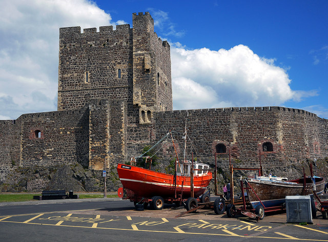 CARRICKFERGUS CASTLE in CarrickfergusCARRICKFERGUS CASTLE · 756 yd
 Carrickfergus MuseumMuseum · 799 yd
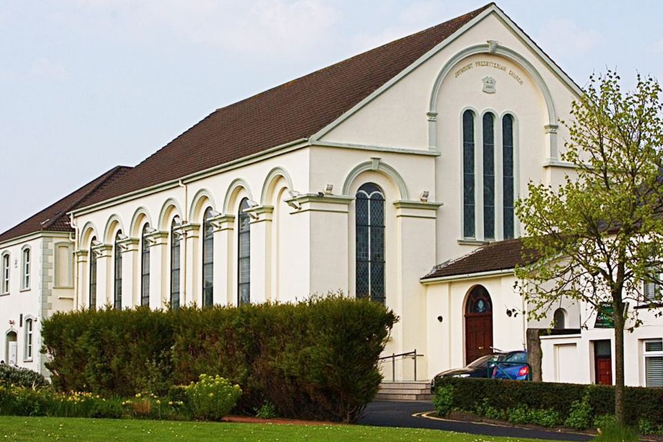 FORTIFIED HOUSE built on FRANCISCAN FRIARY: JOYMOUNT in CarrickfergusFORTIFIED HOUSE built on FRANCISCAN FRIARY: JOYMOUNT · 851 yd
 US RangersMemorial · 863 yd
 ENCLOSURE in Carrickfergus; East Central WardENCLOSURE · 999 yd