
What is recorded here
Belcoo West holds a post-medieval fortification dated to the seventeenth century, when armed conflict turned ordinary land into a chessboard of trenches and watchtowers. The stones and soil may have shaken under marching boots, while frightened people listened for gunfire beyond the hills. Whatever lives buried there still belongs to the violence and survival of that century.
The official Northern Ireland record identifies this as FORTIFICATION. Recorded period: POST-MED; C17TH. The official map point was placed at the centre of the recorded archaeological site from the source map reference.
The monument record does not grant public access. Check the route and ask the landowner before entering private land.
- What survives
- Recorded monument
Places near here
 CarnArchaeological place · 531 yd
 Standing StoneArchaeological place · 603 yd
 The Market Housemarket house · 662 yd
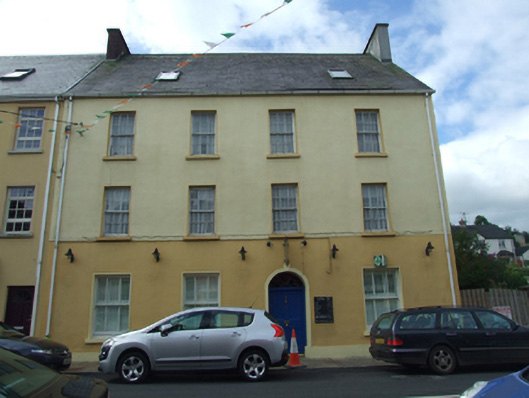 Olive Grovehouse · 690 yd
 Teampull RuisínHeritage attraction · 1291 yd
 Saint Patrick's Holy WellSpring · 1297 yd
 AughrimMountain / peak · 1513 yd
 Corry PointHeadland · 1.0 mi
 InisheeIsland · 1.3 mi
 Kilrooscagh IslandIslet · 1.4 mi
 Crannog IslandWood · 1.5 mi
 CullentraghMountain / peak · 1.6 mi
Other information
Photo: Credit not shown in the picture search · Rights wording not checked; contact us if this picture should be removed