What is recorded here
Dunbeg Hillfort stands in County Down as a scheduled fortification whose exact age remains uncertain. The hill itself may have worn the edges of every human story written upon it. People may have climbed there to watch the sea, defend a valley or simply belong to the land before writing existed. The stones and soil still hold that much, even when the facts stop speaking.
The official Northern Ireland record identifies this as FORTIFICATION: DUNBEG HILLFORT. Recorded period: UNCERTAIN. Recorded protection: Scheduled. The official map point was placed at the centre of the recorded archaeological site from the source map reference.
The monument record does not grant public access. Check the route and ask the landowner before entering private land.
- What survives
- Recorded monument
Places near here
 Glen LoaninWalking route · 1627 yd
 ENCLOSURE in Ballymacarn NorthENCLOSURE · 1.2 mi
 ENCLOSURE in Ballymacarn SouthENCLOSURE · 1.6 mi
 Assembly RoomsAssembly Room · 1.7 mi
 Spa Presbyterian ChurchChurch · 1.7 mi
 Darby's LoaninWalking route · 1.8 mi
 FORTIFICATION: McCARTAN'S CASTLE (unlocated) in MagheratimpanyFORTIFICATION: McCARTAN'S CASTLE (unlocated) · 1.9 mi
 Dunmore MountainMountain / peak · 2.4 mi
 Slieve CroobMountain / peak · 2.4 mi
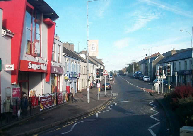 Lisburn Street South Car ParkVisitor information · 2.8 mi
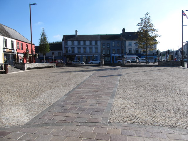 Market DayVisitor information · 2.8 mi
 Windmill Hill WoodWood · 3.0 mi