
What is recorded here
Bruce's Castle stands in Ballycarry as a medieval fortification, marked on official maps and protected from careless change. The name suggests a warrior or claimant once shaped the land, though the facts leave that identity bare. Stone or earth may have risen there to watch the coast, exclude invaders, or simply declare that the place belonged to someone.
The official Northern Ireland record identifies this as FORTIFICATION: BRUCE'S CASTLE. Recorded period: MEDIEVAL. Recorded protection: Scheduled. The official map point was placed at the centre of the recorded archaeological site from the source map reference.
Bruce's Castle in Ballycarry was likely built by the Bruce family during the late medieval period, possibly in the 13th or 14th century. It is remembered as part of the broader network of Anglo-Norman and Scottish-built fortifications in Ulster, reflecting the expansion of English influence into the north-east of Ireland during the medieval era.
The monument record does not grant public access. Check the route and ask the landowner before entering private land.
- What survives
- Recorded monument
Places near here
 Rathlin CastleRuins · 67 yd
 Rathlin East (Altacarry Head) LighthouseLighthouse · 589 yd
 Ballycarry Trail, RathlinWalking route · 658 yd
 Brackens CaveCave · 753 yd
 Drystone enclosure: possible boat shelter in BallynoeDrystone enclosure: possible boat shelter · 907 yd
 POSSIBLE PROMONTORY FORT in CraigmacaganPOSSIBLE PROMONTORY FORT · 1087 yd
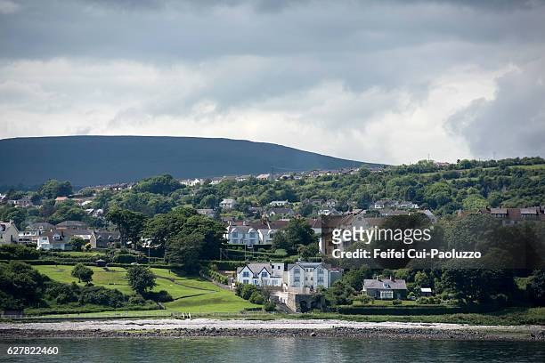 CarrickagileHeadland · 1105 yd
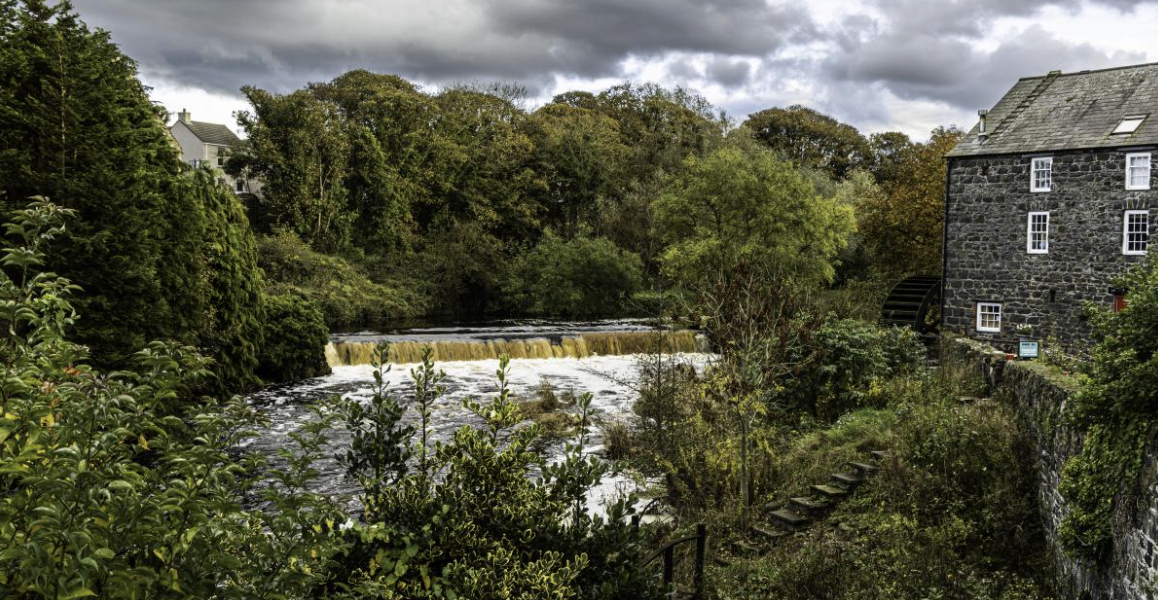 RuenascarriveHeadland · 1709 yd
 Boathouse Visitor Centre & MuseumMuseum · 1.0 mi
 Boat HouseBoat House · 1.0 mi
 CASTLE or CASHEL & Man-made underground passages (SITE OF): CASTLE VOODISH in CarravindoonCASTLE or CASHEL & Man-made underground passages (SITE OF): CASTLE VOODISH · 1.8 mi
 Rathlin IslandIsland · 2.4 mi
Other information
Photo: Chris Burrell · Creative Commons Attribution-ShareAlike 2.0