
What is recorded here
There is no sign of the single-ringed enclosure shown on the 2nd edition of the OS 6-inch map. As there are the remains of two cashels close-by (DG029-028 and DG029-27) it is likely that this also was a stone enclosure. It was situated on a plateau of cultivated land overlooking Lough Swilly to the W.
The above description was derived from the 'Archaeological Survey of County Donegal. A description of the field antiquities of the County from the Mesolithic Period to the 17th century.' Compiled by: Brian Lacey with Eamon Cody, Claire Cotter, Judy Cuppage, Noel Dunne, Vincent Hurley, Celie O'Rahilly, Paul Walsh and Seán Ó Nualláin (Lifford: Donegal County Council, 1983). In certain instances the entries have been revised and updated.
Date of upload: 22 September 2008
A former stone ringfort near Buncrana, likely dating to the early medieval period, associated with local traditions of fairy dwellings and ancient settlements. Its exact location is now unclear, but nearby cashels suggest a continuity of early Irish defensive or ritual structures in the area.
The monument record does not grant public access. Check the route and ask the landowner before entering private land.
- What survives
- Recorded monument
Places near here
 Ballymacarry Stone Ringfort near BuncranaFairy fort / stone ringfort · 138 yd
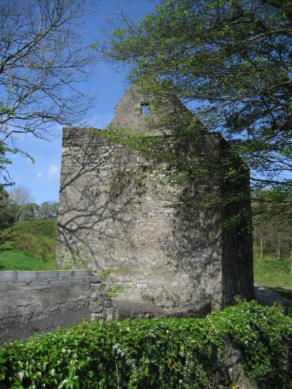 Ardaravan Stone Ringfort near Buncrana GraveyardFairy fort / stone ringfort · 399 yd
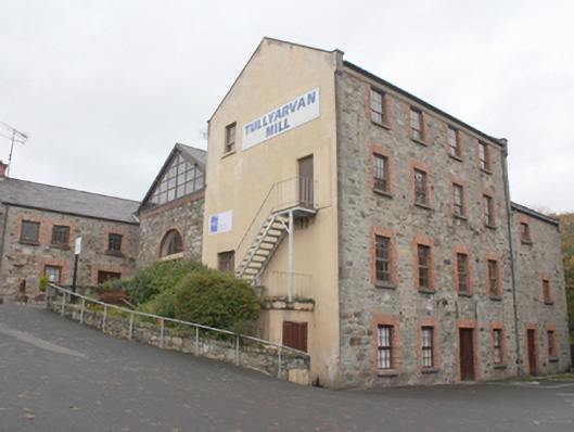 Tullyarvan Millsmill (water) · 566 yd
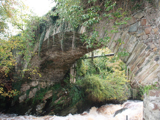 Wilson's Bridgebridge · 697 yd
 O'Doherty's KeepCastle · 1265 yd
 Lady's Bay, BuncranaOfficial bathing water · 1.0 mi
 Neds Point FortFort · 1.2 mi
 Stragill BeachBeach / strand · 2.0 mi
 Brown’s PointHeadland · 4.4 mi
 Lackan ForestForest · 4.6 mi
 Slieve MainMountain / peak · 4.8 mi
 Scalp MountainMountain / peak · 4.8 mi
Other information
Photo: Credit not shown in the picture search · Rights wording not checked; contact us if this picture should be removed