What is recorded here
Marianne spilled cream across the kitchen table and watched it spread like a white road. She had dreamed the road again, stretching from Ballycarry to a field where red berries waited beneath the soil. The dream never named the people who bled or the hands that buried them. It only showed Marianne kneeling, washing the berries clean before dawn. She wiped the table, poured the cream away, and carried the empty jug to the drain. The road disappeared with the cream, but she kept the jug rinsed and ready for the next dream.
The official Northern Ireland record identifies this as FOLKLORE SITE: reputedly site of a massacre in 1642. Recorded period: C17TH; POST-MED. The official map point was placed at the centre of the recorded archaeological site from the source map reference.
The monument record does not grant public access. Check the route and ask the landowner before entering private land.
- What survives
- Recorded monument
Places near here
 Brackens CaveCave · 497 yd
 Drystone enclosure: possible boat shelter in BallynoeDrystone enclosure: possible boat shelter · 531 yd
 A.P. SITE: ENCLOSURE in CraigmacaganA.P. SITE: ENCLOSURE · 582 yd
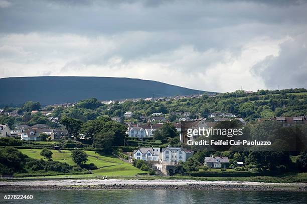 CarrickagileHeadland · 718 yd
 Boathouse Visitor Centre & MuseumMuseum · 785 yd
 Boat HouseBoat House · 785 yd
 Kelp HouseRuins · 867 yd
 Ballycarry Trail, RathlinWalking route · 932 yd
 Rathlin CastleRuins · 1011 yd
 FORTIFICATION: BRUCE'S CASTLE in BallycarryFORTIFICATION: BRUCE'S CASTLE · 1012 yd
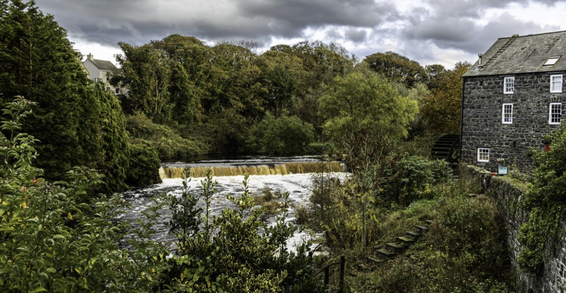 RuenascarriveHeadland · 1231 yd
 Rathlin IslandIsland · 1.9 mi