What is recorded here
Mill mentioned in the Civil Survey (1654-6) at 'Garrychane' on lands owned by 'Patricke Goegh Irish Papist', 'Upon the sd lands stands a grist mill lately built by Tho: Batty of Clonmell Esqr' (Simington 1931, vol. 1, 308). Located on N bank of River Suir, immediately SW of Clonmel town. The present townland of Garryshane probably extended down to the River Suir in the 17th century. On the 1st (1840-41) ed. OS 6-inch map a flour mill and mill pond are depicted E of Abbey Ville House. The mill is depicted as a ball alley on the 1950-51 ed. OS 6-inch map, with sluices, which still survive, these may have been part of the former mill race. Mill building has been converted into a ball alley, only the N gable and sloping E and W walls survive, internally rendered with smooth concrete. Building was at least three storeys high and externally is heavily overgrown with ivy and brambles. The ground to E of the ball alley has been built-up and currently serves as a small carpark at the end of a terrace of houses. The size of the mill building suggests it is post-1700 though it may be on the site of an earlier mill. The 17th-century mill remains unlocated within the townland.
Compiled by: Jean Farrelly
Date of upload: 26 August 2011
The monument record does not grant public access. Check the route and ask the landowner before entering private land.
- What survives
- Recorded monument
Places near here
 Enclosure in Burgagery-Lands EastEnclosure · 314 yd
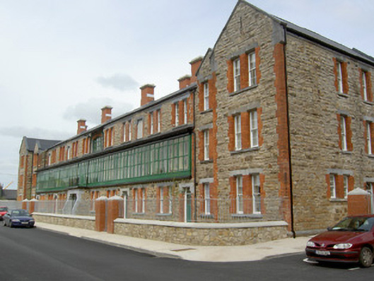 barracksbarracks · 379 yd
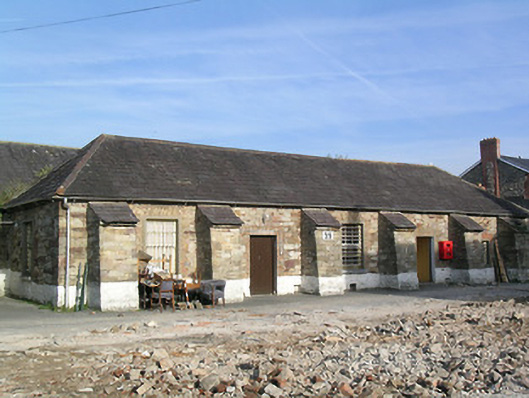 Kickham Barracksbuilding misc · 443 yd
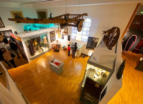 Tipperary Museum of Hidden HistoryMuseum · 697 yd
 RetrospectMemorial · 720 yd
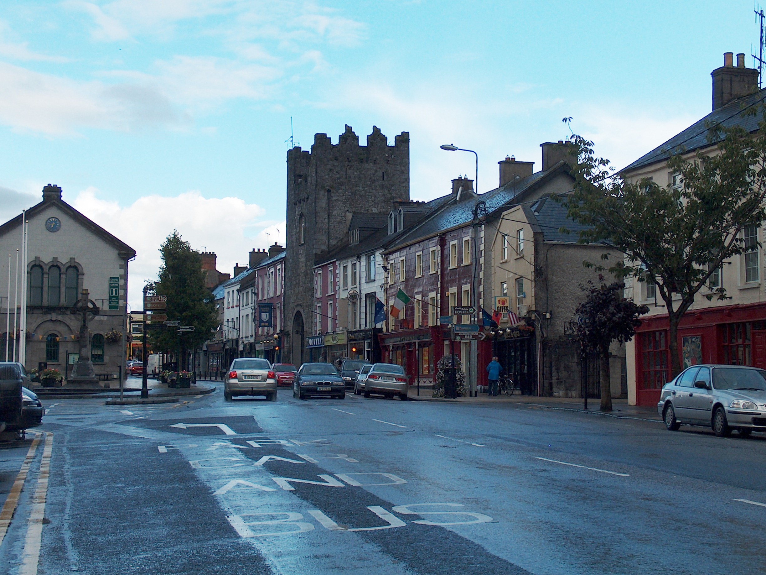 Mick Delahunty SquareMemorial · 733 yd
 Black WalnutBlack Walnut · 765 yd
 Allen, Larkin and O'Brien MonumentMonument · 775 yd
 Monkey-puzzleMonkey-puzzle · 802 yd
 Main GuardHeritage attraction · 1006 yd
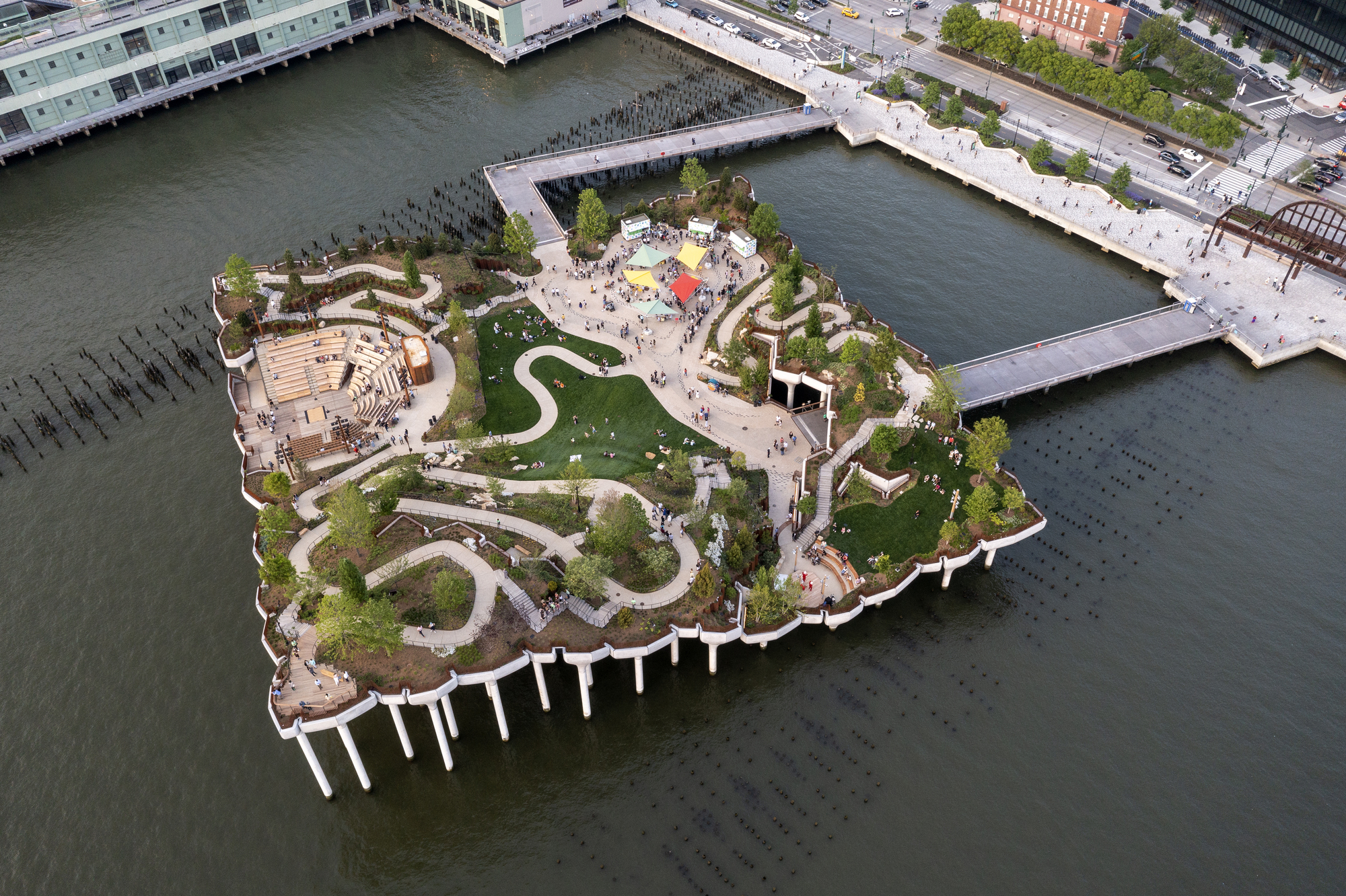 Little IslandIslet · 1081 yd
 CastleCastle, unclassified · 1095 yd