What is recorded here
Meltwater erased the markers, but it did not erase the dead. They remain scattered inside County Derry, waiting for soil dense enough to reveal them. The vanished district still holds human shape, though human memory has forgotten it.
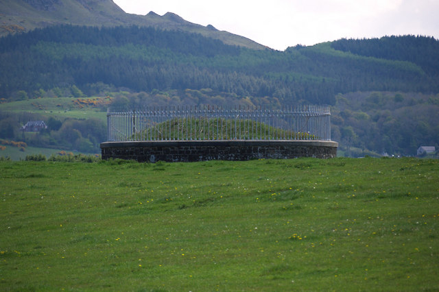
The official Northern Ireland record identifies this as Findspot of human remains, burial ground. Recorded period: UNCERTAIN. The official map point was placed at the centre of the recorded archaeological site from the source map reference.
The monument record does not grant public access. Check the route and ask the landowner before entering private land.
- What survives
- Recorded monument
Places near here
 North Base Station, Lough Foyle Base LineMonument · 1266 yd
 Presbyterian ChurchChurch · 1.3 mi
 CHURCH SITE & CROSS CARVED STONE: CHURCH HILL or CANON'S BRAE in DuncrunCHURCH SITE & CROSS CARVED STONE: CHURCH HILL or CANON'S BRAE · 2.0 mi
 Aidan's WellSpring · 2.5 mi
 Martello TowerFort · 2.5 mi
 Binevenagh ViewViewpoint · 3.0 mi
 Swann's BridgePicnic place · 3.3 mi
 Inishowen Maritime Museum and PlanetariumMuseum · 3.3 mi
 Devil's ThumbNamed rock · 3.3 mi
 Greencastle / Northburgh CastleCastle, Anglo-Norman masonry castle · 3.4 mi
 GreencastleCastle · 3.4 mi
 Magilligan - Benone StrandBeach / strand · 3.4 mi