What is recorded here
Mnemo knowledge and identity guard the request. That is the reason these facts exist. The claimant may know the facts, but the facts still need a visible witness.
The official Northern Ireland record identifies this as FINDSPOT OF BURIAL (possibly Viking?). Recorded period: E.CHRIST.. The official map point was placed at the centre of the recorded archaeological site from the source map reference.
The monument record does not grant public access. Check the route and ask the landowner before entering private land.
- What survives
- Recorded monument
Places near here
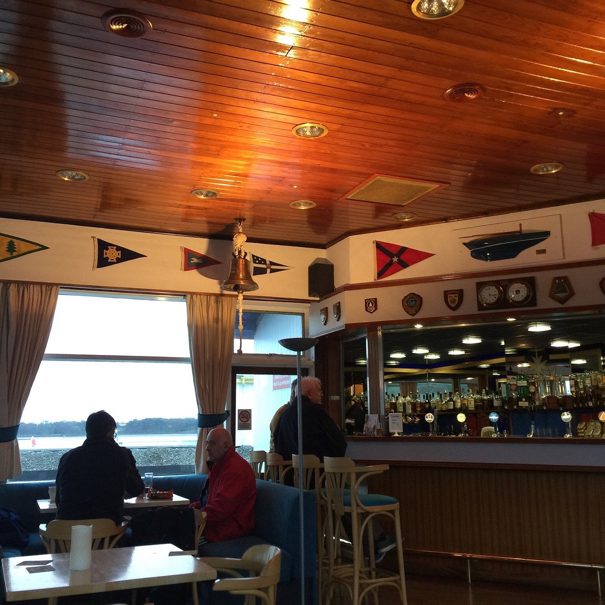 ENCLOSURE in Ballyholme (bangor)ENCLOSURE · 362 yd
_-_geograph.org.uk_-_5338433.jpg?width=1280) St ColumbanusChurch · 651 yd
St ColumbanusChurch · 651 yd ENCLOSURE in BallymacormickENCLOSURE · 957 yd
 Royal Ulster Yacht ClubRecreational Club · 1419 yd
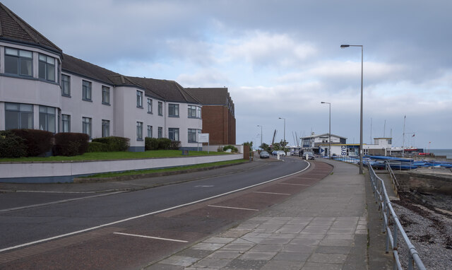 North Down Coastal PathVisitor information · 1.2 mi
 North Down MuseumMuseum · 1.4 mi
 Bangor CastleCastle · 1.4 mi
 Skippingstone BeachBeach / strand · 1.6 mi
 Brompton BayBeach / strand · 1.9 mi
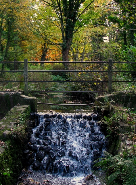 Stricklands GlenWood · 2.2 mi
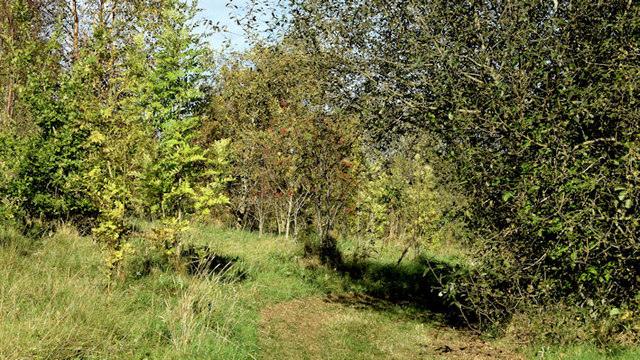 Kilcooley WoodWood · 2.8 mi
 Somme Heritage CentreMuseum · 4.0 mi