What is recorded here
No Turloughgarve exists in the provided facts. The evidence points to Galway, where collapsed walls still mark a lost neighbourhood beneath the grass.
In low-lying rocky grassland. Aerial reconnaissance (CUCAP BDT 77) in July 1970 brought to light a series of low grassed-over collapsed field walls which form on obvious pattern. They cover an area c. 300m NE-SW by c. 180m NW-SE. A ringfort (GA056-138001-) and several house sites (see GA056-138002- to GA056-128005-) lie within the system.
The above description is derived from the published 'Archaeological Inventory of County Galway Vol. II - North Galway'. Compiled by Olive Alcock, Kathy de hÓra and Paul Gosling (Dublin: Stationery Office, 1999).
Date of upload: 05 August 2010
The monument record does not grant public access. Check the route and ask the landowner before entering private land.
- What survives
- Recorded monument
Places near here
 Enclosure in TurloughgarveEnclosure · 447 yd
 IndicatedHouse, indeterminate date · 701 yd
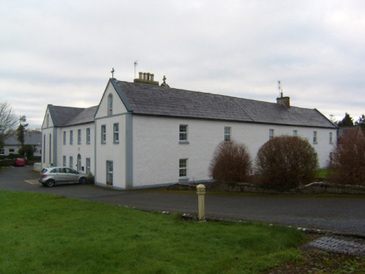 The Monasterymonastery · 1096 yd
 Site of Castle CreevyCastle, unclassified · 1.2 mi
 Megalithic structure in BolisheenMegalithic structure · 1.2 mi
 Drumgriffin Castle (in ruins)Castle, unclassified · 1.4 mi
 Cregg Castle DemesneForest · 1.6 mi
 Ballinduff BayBay · 3.1 mi
 Kilcoona Round TowerHeritage attraction · 3.3 mi
 Cúil DiarmuidWood · 4.1 mi
 Oileán an AoilIsland · 4.7 mi
 Oileán an BhreathnaighIslet · 4.8 mi