What is recorded here
In grassland, no surface remains visible. Discovered as a result of a geophysical survey (24R0163). Not depicted on any examined mapping, not visible on aerial imagery. The monument manifested a series of anomalies detected during a geophysical survey (24R0163; Murphy Rochford, 2024). The anomalies recorded represent unrecorded sub oval enclosure (WM033-078----) with associated field systems and features.
Compiled by: Caimin O'Brien based on details provided by archaeologist, Magda Lyne
Date of Compilation: 10 November 2025
The monument record does not grant public access. Check the route and ask the landowner before entering private land.
- What survives
- Recorded monument
Places near here
 Enclosure in OldtownEnclosure · 63 yd
 Fairy fort / ringfort in GneevebaneFairy fort / ringfort · 1178 yd
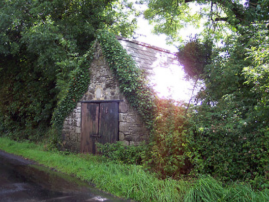 The Forgeforge/smithy · 1330 yd
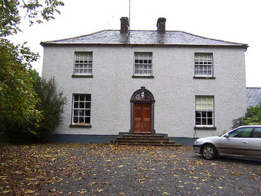 Far View Househouse · 1372 yd
 Castlelost MoatCastle, motte and bailey · 1.3 mi
 CastleCastle, hall-house · 1.6 mi
 Derrygreenagh HillMountain / peak · 3.0 mi
 Knockdrin HillMountain / peak · 4.0 mi
 Croghan HillMountain / peak · 4.3 mi
 Finnrenashark Holy WellSpring · 4.5 mi
 Croghan Hill WalkVisitor information · 4.6 mi
 Mollie Moo's Pet FarmHeritage attraction · 5.0 mi