What is recorded here
Aerial photograph (GB90.BL.26) shows cropmarks of a sequence of fosses defining a field system with curvilinear and rectilinear components, forming part of an extensive field system (LA018-067) integrated with a rectangular enclosure, probably a moated site (LA018-066). First recorded as a positive cropmark in July 1990.
The above report has been compiled by Dr. G.F. Barrett and supplied to the Archaeological Survey of Ireland.
Date of this report: 03 December 2009
Compiled by Caimin O'Brien
Date of upload/revision: 13 August 2010
The monument record does not grant public access. Check the route and ask the landowner before entering private land.
- What survives
- Recorded monument
Places near here
 Enclosure in PowelstownEnclosure · 655 yd
 Enclosure in LoughteeogEnclosure · 766 yd
 Prospect Ho.Castle, unclassified · 1278 yd
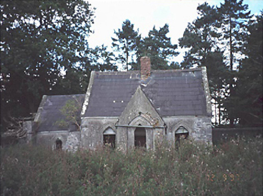 Lamberton Housegate lodge · 1604 yd
 Church (in Ruins)Church · 1.5 mi
 Site of CastleCastle, unclassified · 1.6 mi
 Rock of Dunamase InformationVisitor information · 2.3 mi
 Rock of DunamaseCastle · 2.3 mi
 European BeechEuropean Beech · 2.8 mi
 Rock of CashelMountain / peak · 3.3 mi
 CEMETERYGraveyard · 3.5 mi
 Oughaval Wood MapVisitor information · 3.6 mi