What is recorded here
First identified in an unpublished archaeological LiDAR report (Davis, 2015) commissioned by Roscommon County Council as part of the Environmental Impact Assessment for the N5 Ballaghaderreen - Scramoge road development. It is located on a SW-facing slope. An area of about 4.5 ha (c. 11 acres) contains field banks of a regular form (Wth 2-2.7m; H 0.2-0.35m) with no accompanying ditches. The banks form small, rectangular or irregularly-shaped fields or paddocks (dims c. 30m x 10m to c. 70m x 30m) with no evidence of lazy-bed cultivation. There is one possible house (dims 14m NE-SW; c. 5m NW-SE) defined by earthen banks at the centre of a cluster of smaller paddocks towards the SE end of the fields, and there may be shallow quarrying at the N end of the area.
Compiled by: Michael Moore
Date of revised upload: 8 August, 2016
The monument record does not grant public access. Check the route and ask the landowner before entering private land.
- What survives
- Recorded monument
Places near here
 Lettreen WellHoly well · 267 yd
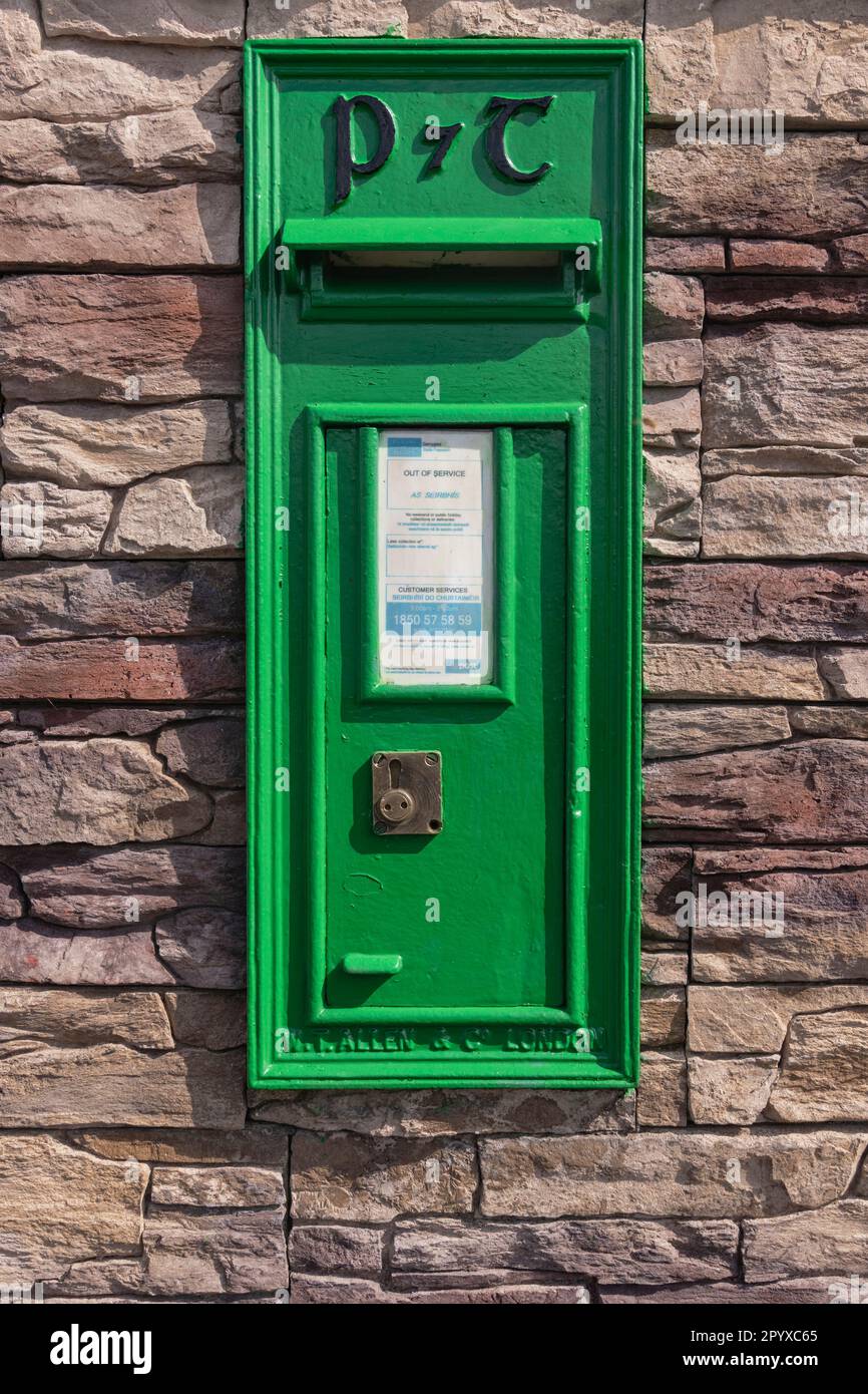 Embanked enclosureFairy fort / earthen ringfort · 559 yd
 Mullaghcreigha RC ChapelChurch · 563 yd
 Caslans WoodForest · 698 yd
 CastleCastle, unclassified · 1218 yd
 Pedunculate OakPedunculate Oak · 1.2 mi
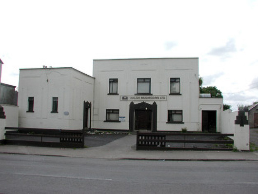 ballroom/dance hall/discoballroom/dance hall/disco · 1.3 mi
 Strokestown ParkHeritage attraction · 1.6 mi
 Strokestown House GardensHeritage attraction · 1.6 mi
 Goat IslandIslet · 4.9 mi
 Garrymond IslandIslet · 5.2 mi
 War of Independence Commemorative Military MemorialMemorial · 5.5 mi