What is recorded here
In pastureland on a very slight W-facing slope; immediately to the NNW of a rath (GA070-110001-). A series of poorly preserved earthen and stone field walls (Wth 2.85m; H 0.2-0.3m) are visible covering a roughly rectangular area c. 200m NE-SW by 180m ENE-WSW. The walls are generally linear with occasional kinks in places. Two house sites (GA070-110003- and GA070-110004-) and a hut site (GA070-110005-) may be associated. Natural rock outcrop occurs to the SE and clearance cairns are evident across whole area.
Compiled by: Olive Alcock
Date of upload: 24 February 2017
The monument record does not grant public access. Check the route and ask the landowner before entering private land.
- What survives
- Recorded monument
Places near here
 Enclosure in Knockdoebeg West,cnoc Tua MórEnclosure · 716 yd
 Enclosure in Knockdoebeg WestEnclosure · 981 yd
 European BeechEuropean Beech · 1013 yd
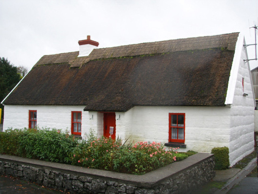 Lackagh Museum and Heritage Centrehouse · 1125 yd
 R.C. ChapelChurch · 1146 yd
 Kiltroge Castle (in ruins)Castle, tower house · 2.2 mi
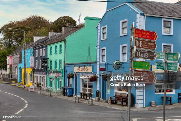 Cashlaunnagrantha in ruinsCastle, tower house · 2.3 mi
 Cregg Castle DemesneForest · 2.7 mi
 Ballinduff BayBay · 6.9 mi
 Kilcoona Round TowerHeritage attraction · 7.1 mi
 Oileán an BhreathnaighIslet · 7.9 mi
 Oileán an AoilIsland · 8.1 mi